According to the National Center for Hydro-Meteorological Forecasting, from the night of April 16 to April 17, cold air compresses low pressure troughs combined with wind convergence above 1500m. Due to the influence of cold air, in the Northern region (except Lai Chau, Dien Bien) and North Central region there is rain, moderate rain and scattered thunderstorms with rainfall from 20-40mm, locally very heavy rain over 100mm.
From April 17, the Northern region will turn cool. The cold air wave will soothe the hot atmosphere throughout the early summer.
In addition, in the late afternoon and evening of June 16, the Central Highlands area will have showers and scattered thunderstorms with rainfall from 10-20mm, locally heavy rain over 50mm. In thunderstorms, there is a possibility of tornadoes, lightning, hail and strong gusts of wind.
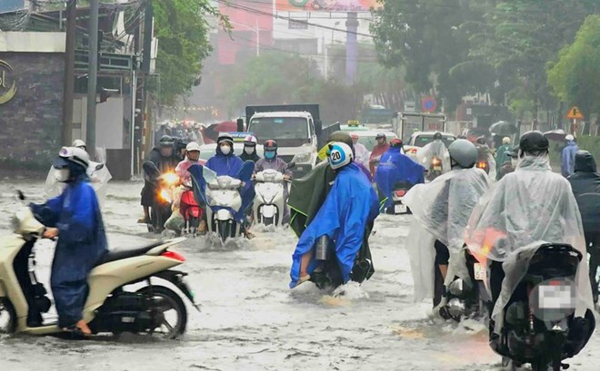
Rainstorms accompanied by tornadoes, lightning, hail and strong gusts of wind can affect agricultural production, causing trees to fall, damaged houses, traffic works, and infrastructure.
Localized heavy rain is likely to cause flash floods on small rivers and streams, landslides on slopes and flooding in low-lying areas.
Warning level of natural disaster risk due to tornadoes, lightning, hail: Level 1.
At sea, on the night of April 16 and on April 17, the area of the Northern Gulf of Tonkin will have scattered showers and thunderstorms. People and tourists need to be wary of the possibility of tornadoes, strong gusts of wind at level 6-7 and sea waves over 2.0m high during thunderstorms. All ships operating in the above areas are at risk of being affected by tornadoes and strong gusts of wind.


