According to the National Center for Hydro-Meteorological Forecasting, around the night of February 15 and the morning of February 16, this cold air mass will affect the Northeast region, then affect some places in the Northwest and North Central regions. The northeast wind inland is strong at level 2-3.
In the Northeast from the night of February 15, it will be cold, with some mountainous areas experiencing severe cold. The lowest temperature in this cold air mass in the Northeast is generally from 16-19 degrees Celsius, in mountainous areas it is below 15 degrees Celsius.

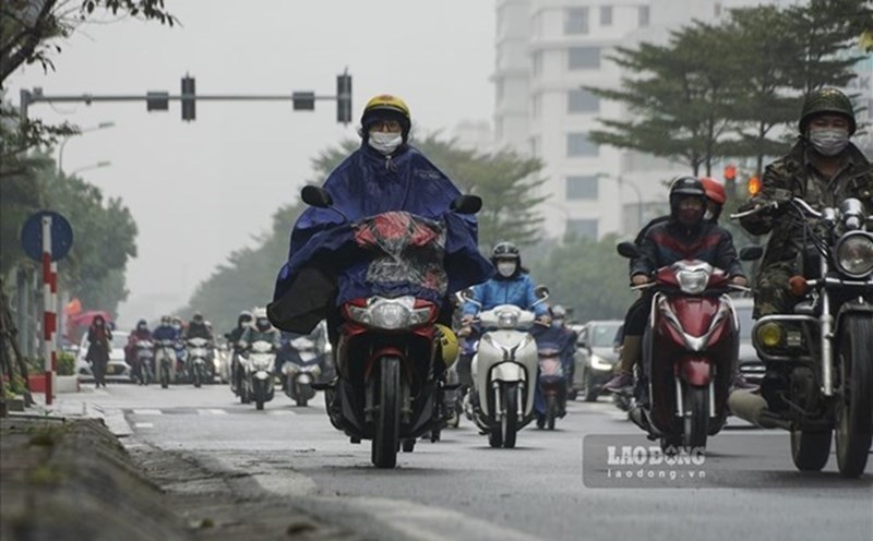
Hanoi area from the night of February 15 is cold. The lowest temperature in this cold air mass is generally 17-19 degrees Celsius.
From early morning on February 16, in the north of the Gulf of Tonkin, the Northeast wind will gradually increase to level 4-5, with waves 1.0-1.0m high. From the night of February 16, the northeastern sea area of the North East Sea will gradually increase to level 6, gusting to level 7-8, rough seas, waves 2.0-4.0m high.
Due to the influence of weakly strengthening cold air shifting to the East combined with strong winds in the high-altitude West wind zone from the night of February 15 to the morning of February 17, the Northern and North Central regions will have scattered rain and light rain.
People and tourists coming to these areas on weekends and early next week should pay attention to bring warm clothes, thermal clothing, do not forget umbrellas and raincoats to prevent sudden changes in weather.