The Philippine Atmospheric, Geophysical and Astronomical Services Administration (PAGASA) is monitoring a low-pressure area. The coordinates in the latest update of this tropical depression are located 220km northeast of Aparri, Cagayan province, northeast of the Philippines.
Obet Badrina, a weather specialist at PAGASA, said the tropical depression is unlikely to intensify into a storm, as it is in an unfavorable environment.
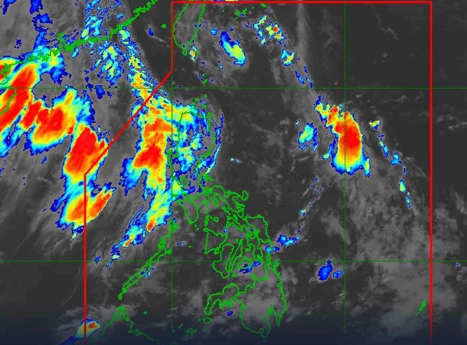
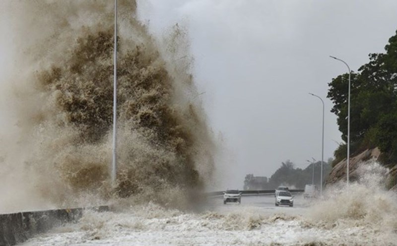
On the morning of July 29, the low-pressure trough no longer brought scattered rain and thunderstorms to the eastern part of the Philippines. However, the southwest monsoon still affects western Luzon, causing scattered rain and thunderstorms, with the possibility of flash floods and landslides.
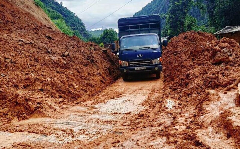
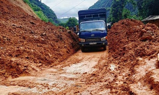
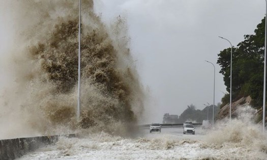
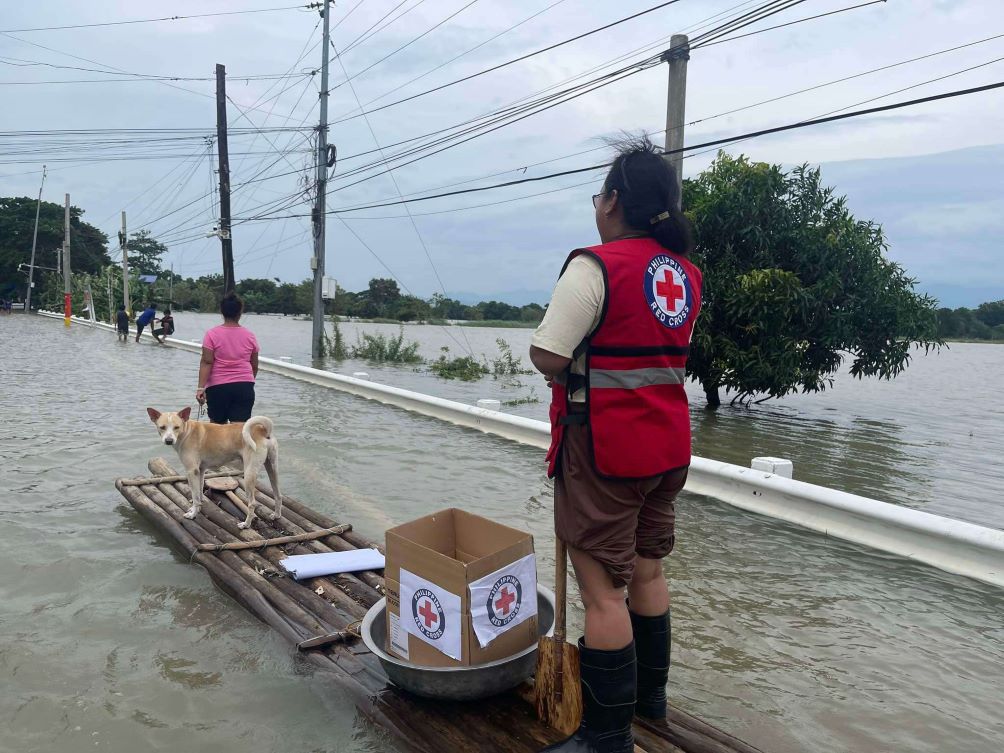
The Philippines is located in the Pacific "Ring of Fire" and the Pacific "Typhoon Belt," areas that experience the most natural disasters in the world. On average, the country records 20 storms each year, with some being very strong.
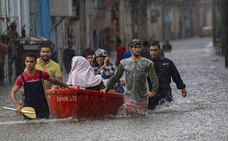
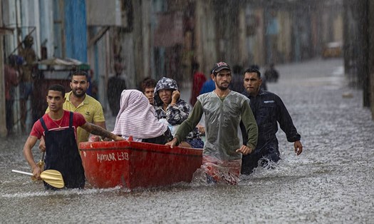
Most recently, Typhoon Gaemi (known as Typhoon Carina in the Philippines) made landfall in the archipelago, causing severe flooding in Manila and nearby cities.
During this time, tourists should consider and be cautious when planning to travel to the Philippines as it is the typhoon season in the country.
It is necessary to closely monitor weather forecasts and warnings from authorities, and prepare contingency plans to flexibly change schedules. Avoid areas with high risks of flooding or landslides.
Always carry essential items such as flashlights, backup batteries, drinking water, and dry food. Store emergency phone numbers and the address of the Vietnamese embassy.
Follow evacuation instructions if any. Finally, consider purchasing travel insurance that includes natural disaster coverage. Keep in regular contact with family about your situation. Personal safety must be prioritized during the trip.