In the left rain, the equatorial low -pressure groove operates on the southern waters from the night of 11 to 14.2.
The weather today in the South is sunny, early in the morning, there is a place with light blindness, cold weather.
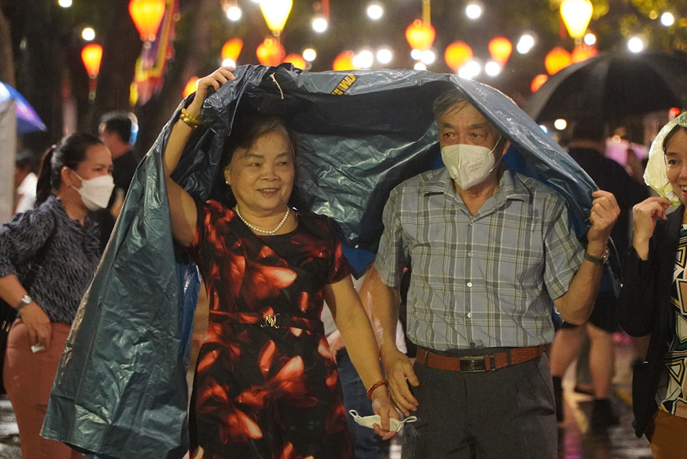
In the evening and night, there is a show of showers and thunderstorms in some places.
This low pressure groove also causes bad weather for the southern waters.
In the waters from Ba Ria - Vung Tau to Ca Mau, the Northeast wind is active at level 6, sometimes level 7, level 8 at offshore. Waves from 2 - 3.5m high, slightly dynamic sea.
The weather forecast is sunny again after February 14, when this low pressure groove will lower the axis and weaken. It was still dry.
The continental high pressure is moving to the east and weakening; Around 12 - 13.2, the possibility of reinforcement, later stable intensity and weakening.
Forecast for the left season will be less and hot again. In the middle of the middle and last week of February, the cold air still operates with strong intensity but will gradually increase the cold air.
Therefore, the temperature in Ho Chi Minh City and the South will increase significantly, with a few hot days with the highest temperature above 35 degrees Celsius. The Northeast wind in the coastal areas also tends to decrease.
People and visitors can plan outdoor play, travel, and relaxation on weekends from 15 to 16.2. As for tourists plans to have fun in Ho Chi Minh City and the South in the middle of the week, prepare the wind jacket when out in the early morning and evening, bringing the umbrella or thin raincoat to prevent sudden rains.


