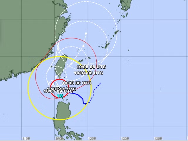
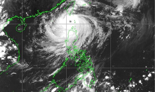
Taiwan (China) is preparing to respond to Super Typhoon Krathon, which is expected to make landfall on its west coast. The storm maintains Category 4 storm intensity, with sustained winds of 198 km/h and gusts of up to 245 km/h. As of the afternoon of October 1 (local time), the storm is currently located 236 km south-southeast of Kaohsiung City, and is expected to make landfall tomorrow (October 2).
Super Typhoon Krathon has a wind radius of 220 km, affecting Pingtung, Taitung and Kaohsiung, with torrential rains and strong winds hitting coastal areas.
Taiwan's China Weather Administration (CWA) has issued a warning for extremely heavy rain, with rainfall of up to 350 mm in mountainous areas.

Super Typhoon Krathon has reached its peak intensity but may weaken slightly before making landfall, according to Li Meng-hsiang, a weather forecaster with the CWA. The storm could bring tidal surges inland, flooding coastal areas, he said.
Taiwan (China) is regularly hit by typhoons. Typically, typhoons hit along the island's mountainous and sparsely populated east coast facing the Pacific Ocean. But Typhoon Krathon will hit the island's flat western plains.
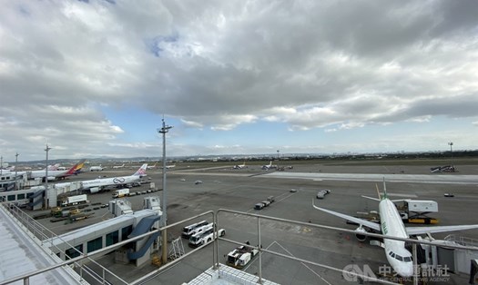
Six major cities and counties have ordered schools and offices closed. Eighty-five domestic and international flights have been affected. Ferry services to the islands have also been suspended.
This situation will significantly impact travelers planning to visit the area in the next few days. Travelers are advised to pay close attention to warnings from authorities, service providers and airlines.
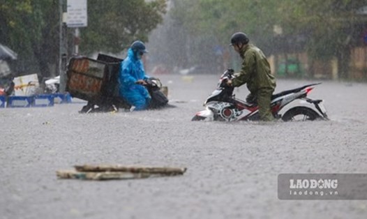
Typhoon Krathon earlier affected the northern islands of the Philippines, bringing heavy rains that caused flooding, forcing hundreds of people to evacuate and closing schools.


