According to the weather forecast from the National Center for Hydro-Meteorological Forecasting, cold air will affect the weather in all three regions.
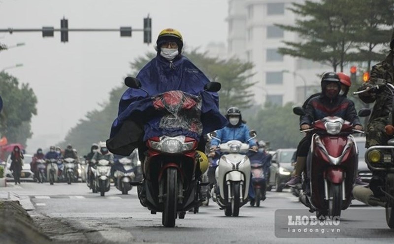
The weather forecast for the North is that the wetlands will end from February 23 but the rain will continue until February 26.
The weather in the Central region has rain. The area from Da Nang to Binh Thuan, from the afternoon of February 22 to February 25, is likely to experience heavy rain due to the influence of disturbances in the high-altitude easterly wind zone, then combined with the impact of cold air.
The weather in the Central Highlands and the South from February 22 to 24 will have scattered showers and thunderstorms due to the influence of disturbances in the high-altitude easterly wind zone.
People and tourists should avoid moving in heavy rain if not necessary. If you have to go out, choose a safe route and avoid areas prone to flooding, landslides or at risk of flash floods. It is necessary to continuously update weather information to adjust travel plans and outdoor activities.
From February 25 onwards, the winter wind will weaken, the weather in these areas will no longer have unseasonal rain, sunny weather. The weather forecast for the Central Highlands is that the temperature will increase to 28-31 degrees Celsius; while in the South, the temperature will be about 31-33 degrees Celsius.
Weather forecast for Ho Chi Minh City has showers and thunderstorms from February 22 to February 24. Temperature is about 24 to 34 degrees Celsius.
According to the National Center for Hydro-Meteorological Forecasting, in the coming month, the temperature across the country will be approximately the average of many years, with the Northeast and North Central regions will be 0.5-1 degrees Celsius lower; total rainfall will generally be 10-30 mm higher.
As the cold air continues to strengthen to the Southeast, the northeastern sea area of the North East Sea will have strong northeast winds of level 6.
Forecast for the night of February 21 and 22, the North East Sea area (including the sea area of Hoang Sa archipelago).
Strong Northeast wind level 6, in the East sometimes level 7, gusting to level 8-9. Strong seas. Waves are 3-5m high.
The sea area from Khanh Hoa to Binh Thuan has strong northeast winds of level 5, sometimes level 6, gusting to level 7-8. Rough seas, waves 2-3m high.
The Central and South East Sea (including the Truong Sa archipelago) will have scattered showers and thunderstorms. During thunderstorms, there is a possibility of tornadoes and strong gusts of wind.
All ships operating in the above areas are at high risk of being affected by tornadoes, strong winds and big waves.