According to the National Center for Hydro-Meteorological Forecasting, from around December 12 to 13, a strong cold air mass may affect the weather in the North and Central regions.
The Northern region will have scattered showers and thunderstorms on December 11-12; on December 13, there is a possibility of scattered showers and thunderstorms, with some places having heavy rain. From around December 13 it will be cold, especially during the day and night of December 13, mountainous and midland areas are likely to experience severe cold, some places are severely cold.
The North Central region from around December 11 to 13 will have rain, showers and thunderstorms, locally heavy rain. From around December 13, it will be cold.
Quang Tri area, Hue city and the South Central Coast from December 13 to 15 are likely to experience widespread heavy rain. Central Highlands on December 13 - 14 will have scattered showers and thunderstorms, with some places having heavy rain.
Mr. Hoang Phuc Lam - Deputy Director of the National Center for Hydro-Meteorological Forecasting said that December is still the rainy season in the Central region, especially in the Central Central and South Central regions.
"Each cold air mass combined with further easterly wind disturbances can cause rain in the Central Central and South Central regions. We forecast that in December, there will still be a risk of heavy rains in the provinces from Quang Tri to Lam Dong" - Mr. Lam analyzed.

Along with the appearance of heavy rains, people are concerned about the risk of flooding on rivers in the Central region. According to the representative of the meteorological agency, the risk of a record flood like in November is not high because the typical situation such as easterly waves or low pressure entering the Central and South Central regions is not as much as in November.
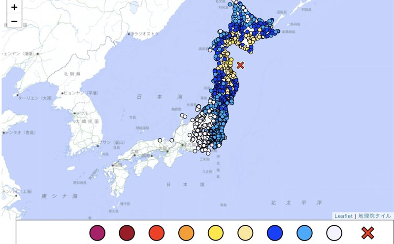
Regarding the cold air trend, in December 2025, cold air will continue to increase in frequency and intensity and may experience severe cold concentrated in the northern mountainous areas of our country.
On a national scale, there is a continued possibility of dangerous weather phenomena such as thunderstorms, whirlwinds, lightning, hail and strong gusts of wind.
In the last months of the year, storms, tropical depressions and cold air can cause strong winds, large waves at sea and affect the activities of ships and boats. In particular, beware of heavy rain that can cause flooding, inundation in low-lying areas and landslides in mountainous areas.
In the context of climate change, weather and climate are becoming increasingly complex with many dangerous and extreme forms such as short-term heavy rain, flash floods, landslides, etc.
Therefore, it is recommended that authorities at all levels and people regularly update and integrate hydrometeorological forecast and warning information in short-term bulletins of 1-3 days, to promptly adjust production plans and appropriate response plans, especially appropriate reservoir operation plans, ensure the safety of works and downstream areas, along with ensuring safety for production and people's lives.