According to Mr. Nguyen Van Huong - Head of Weather Forecast Department, National Center for Hydro-Meteorological Forecasting, there is currently a tropical depression in operation in the eastern area of the Philippines. The location at 1:00 p.m. on November 1 was at about 9.9 degrees north latitude - 138.4 degrees east longitude.

"Current forecast data shows that by tonight and tomorrow morning (November 2), the tropical depression is likely to strengthen into a storm. Around November 5 - November 6 (Thursday - Friday next week), there is a possibility that the storm will enter the East Sea and become storm No. 13" - Mr. Huong said.
According to Mr. Huong, initial forecasts show that if it enters the East Sea, this could be a strong storm, the strongest in the Truong Sa special area, which could reach over level 12.
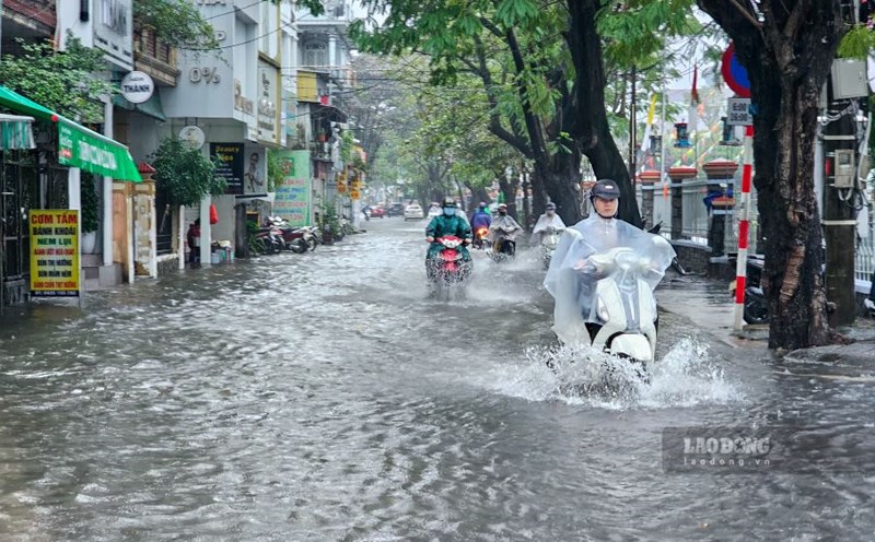
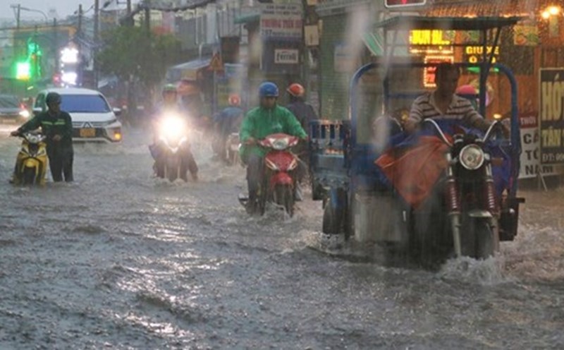
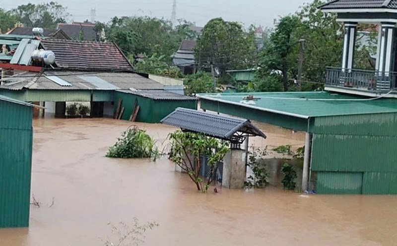
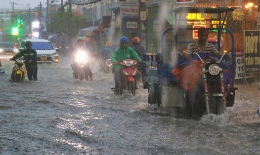
Around November 7, the storm is likely to move into our mainland. The key area to note that it is likely to be directly affected is from Da Nang city to Khanh Hoa. The storm may cause strong winds and heavy rain in the provinces of the Central Central, South Central and Central Highlands regions from the night of November 6 to November 9, 2025.
The representative of the meteorological agency noted that the storm has not yet formed, and is still affected by many large-scale factors in the coming days as well as the terrain when making landfall in the Philippines.
"Therefore, scenarios on the intensity, direction of movement as well as the areas directly affected by storm No. 13 still need to be monitored and updated through new monitoring and forecasting data" - Mr. Huong said.
The National Center for Hydro-Meteorological Forecasting also said that the tropical convergence zone currently has an axis at about 10 - 13 degrees north latitude connecting to the low pressure area. At 1:00 p.m. on November 1, the low pressure area was at about 11.5-12.5 degrees north latitude; 114.5-125.5 degrees east longitude. Cold air is also affecting the sea weather.
On the night of November 1 and November 2, the northern East Sea area (including Hoang Sa special zone) will have strong northeast winds of level 6, from tomorrow afternoon, sometimes level 7, gusting to level 8-9, rough seas, waves 3-5m high.
In the Gulf of Tonkin, there will be strong northeast winds of level 5, sometimes level 6, gradually increasing to level 6, gusting to level 7-8, rough seas, waves 1.5-3m high.
The sea area from southern Quang Tri to Quang Ngai will have strong northeast winds of level 5, sometimes level 6, gusting to level 7-8, rough seas, waves 2-3m high.
On the night of November 1 and 2, in the southern Gulf of Tonkin, the sea area from Quang Tri to Ca Mau, from Ca Mau to An Giang, the Gulf of Thailand, the northern and central East Sea (including the special area of Hoang Sa), there will be scattered showers and thunderstorms; during thunderstorms, there is a possibility of tornadoes, strong gusts of wind of level 6-7 and waves over 2m high.
On the night of November 2 and November 3, the northern East Sea area (including Hoang Sa special zone) will have strong northeast winds of level 6-7, gusting to level 8-9, rough seas, waves 3-5m high.
The Gulf of Tonkin has strong northeast winds of level 6, sometimes level 7, gusting to level 8, rough seas, waves 2-3.5m high.
The sea area from southern Quang Tri to Quang Ngai will have strong northeast winds of level 5, sometimes level 6, gusting to level 7-8, rough seas, waves 2-3m high.
The risk level of natural disasters at sea is level 2. All ships operating in the above areas are at high risk of being affected by strong winds and large waves.