An extremely strong cold front expected to sweep across next week is being seen by meteorologists as a sign of the opening of the severe winter in the US.
According to the FOX Forecast Center, two important climate models - La Nina and two-way mediable layer fluctuations (QBO) - will coordinate to make it easier for cold air masses in the far north to move to lower levels, causing unusually severe cold and frost.
This cold air mass is called Polarvortex - also known as the cucvor, located in the atmosphere 15-50 km from the Earth. In winter, when the area is almost devoid of sunlight, temperatures could drop below -70 degrees Celsius, making the air thick and heavier, ready to overflow south if the median layer of the two atmospheric layers weakens.
Normally, El Nino - Southern Osvorite (ENSO) is the main factor controlling the global climate. However, this year, the QBO's easterly wind phase is expected to weaken the barrier around the northern tornado, creating conditions for cold air to penetrate the convective layer - where people live.
At the same time, La Nina deformed the wind flow in the Pacific Ocean, creating many "sections" for cold air from Canada and the Arctic to easily flow deep south. According to FOX statistics, the years of La Nina and the QBO with easterly winds tend to be colder than average in the eastern region.
Although it is not possible to determine the frequency or intensity of snowfall accurately, forecasters believe that the abundant cold will cause storms moving through this area to turn rain into snow more often.
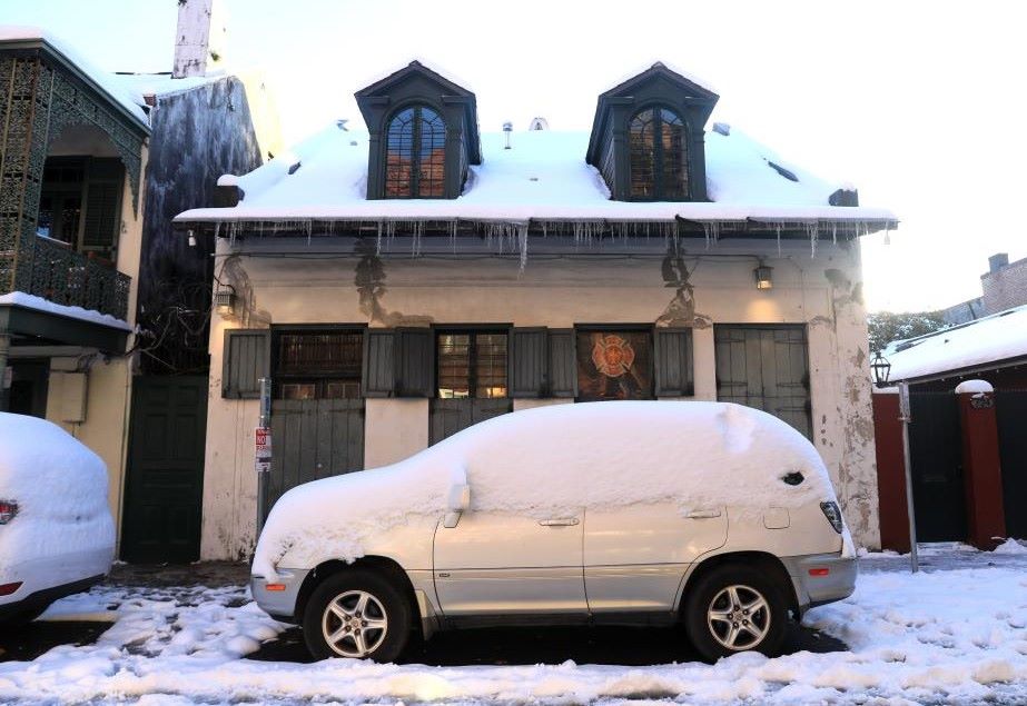
Areas around the five continents, the Midwest and the Northeast are expected to see more snowfall than normal in December, while coastal storms combined with the cold air mass of the Arctic could develop into severe coastal snowstorms.
According to prestigious international weather forecast models, around November 14-15, a cold core will form in the northernmost part of Russia, then the core will move south and reach very strong intensity in Sirberia (Russia) and Mongolia, the maximum pressure index can reach 1055mbar and the lowest temperature in the core will drop to minus 25 to minus 20 degrees Celsius.
In particular, the strong cold waves from the southeast and southern cold core will flood deep to the south and reach Vietnam around November 16-17, the intensity is considered very strong with the manifestation of a dense cold front and spreading deep to the south.
According to the Vietnam National Center for Hydro-Meteorological Forecasting, due to the influence of the cold air combined with the high-altitude phase, from the night of November 12-15, there will be few clouds and sunny days in the North, Thanh Hoa and Nghe An.
During the nights of November 12-15, the lowest temperature in the Northern region, Thanh Hoa and Nghe An will drop sharply, generally between 16-18 degrees Celsius, in the mountainous areas of the North, some places will be below 13 degrees Celsius. The night and early morning in these areas will be cold, in the high mountains, some places will be very cold.


