The "small but impactful" La Nina phenomenon is taking shape and will dominate global weather from now until February next year, according to the latest forecast from the World Meteorological Organization (WMO).
The worrying thing is that although La Nina is often associated with temporary cooling phenomena in the central and eastern Pacific, many areas of the world are still forecast to be warmer than normal, causing the risk of flooding - drought occurring simultaneously in the continents.
According to the WMO, there is a 55% chance that a weak La Nina will last until February 2026. Current ocean and atmospheric signals all show that conditions near the La Niña threshold have formed.
Furthermore, the agency forecasts that from January to April 2026, the likelihood of the world returning to a climate-neutral state (no La Nina, no El Nino) will reach 65 - 75%.
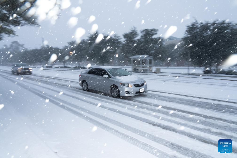
In the US, La Nina often triggers rain and snowstorms in the northern states, while the south faces a dry winter.
In Asia - Pacific, Indonesia, the Philippines, northern Australia, part of Central and South America, as well as southeast Africa, it is forecasted to experience heavier than normal rain.
In contrast, the Middle East, eastern Argentina, eastern China, South Korea and southern Japan are at risk of drought.
La Nina occurs when the central Pacific Ocean cools to about 0.5 degrees Celsius above average. The US Environmental and Oceanographic Administration (NOAA) has declared La Nina officially formed since October.
There is a three- out of four chance that La Nina is just a weak event, said Michelle LHeureux, a NOAA expert.
The WMO also confirmed the possibility of an El Nino situation that is almost zero in the upcoming season. This means that the number of tropical cyclones in the Pacific is unlikely to increase as dramatically as in strong El Nino years.
However, in the context of the Earth continuously recording the hottest years in history, experts believe that whether La Nina or neutral, extreme weather can still occur, because ocean temperatures are at record levels, providing great energy for unusual atmospheric phenomena.
For Vietnam, the Vietnam National Center for Hydro-Meteorological Forecasting said that in the next 3 months, the probability of maintaining La Nina state is likely to reach 60 - 75% and the probability of being in a neutral state is between 25 - 40%.
In La Nina conditions, the average temperature trend in December 2025 tends to be about 0.5 degrees Celsius lower than the average of many years in the same period.
Cold air is likely to be active in December 2025 - January 2026; severe cold in the North is likely to appear from the second half of December 2025 (equivalent to the average of many years).
Regarding rain forecasts, in December 2025, total rainfall in provinces and cities from Quang Tri to Da Nang and the eastern part of the area from Quang Ngai - Dak Lak will generally be from 250 - 580mm, at a level 50 - 150mm higher than the average of many years; the Northern region and Thanh Hoa - Ha Tinh provinces will generally be from 15 - 40mm, Ha Tinh will have total rainfall from 80 - 150mm, a shortfall of 5 - 10mm compared to the average of many years in the same period.


