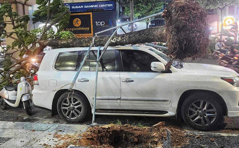
On July 19, Prime Minister Pham Minh Chinh signed and issued Official Dispatch No. 112/CD-TTg on focusing on responding to storm No. 3 in 2025.
According to the telegram, on the morning of July 19, Typhoon Wipha entered the East Sea and became the third storm of 2025, reaching level 10 intensity and gusts of level 12.
According to the forecast of the National Center for Hydro-Meteorological Forecasting, the storm will continue to strengthen (the strongest wind at sea can reach level 12, gusting to level 15), from July 21 to 22, coastal areas from Quang Ninh to Thanh Hoa will be directly affected by the storm, causing strong winds and heavy rain in the Northern provinces and the North Central provinces (Thanh Hoa, Nghe An, Ha Tinh).
This is a very strong storm, moving quickly, the scope and intensity of influence at sea and on land is very large and dangerous. To proactively respond to storms and heavy rains, the risk of flash floods, landslides, and inundation, and ensure the safety of people and property of the people and the State, the Prime Minister requested:
Chairmen of the People's Committees of coastal provinces and cities from Quang Ninh to Quang Ngai: Closely monitor the developments of the storm; direct and deploy counting, guidance, and safety assurance for ships and vehicles operating at sea and along the coast to proactively exit dangerous areas or return to safe shelters; prepare forces and means to promptly rescue and save when required.
Chairmen of the People's Committees of the Northern and North Central provinces and cities: Organize full updates and timely information on the natural disaster situation to people so that people can proactively respond to ensure safety; guide people on response measures and skills, especially strong winds, flash floods, inundation, and landslides.
Localities organize reviews and preparation of evacuation plans for households in dangerous areas, especially coastal areas, areas at high risk of landslides, flash floods, and deep flooding to safe places; have plans to support temporary accommodation, food, and necessities for people who have to evacuate, ensuring stable lives for people.
Relevant parties have plans to ensure the safety of tourists on islands and coastal areas. Prepare measures to ensure safety, limit damage to houses, warehouses, headquarters, public works, industrial parks, factories, power grid systems, and telecommunications.
The locality is ready to deploy forces to guard and control people and vehicles through culverts, spillways, areas with deep flooding, fast-flowing water, landslides or at risk of landslides, resolutely not allowing people and vehicles to pass if safety is not guaranteed, not allowing unfortunate damage to people due to carelessness and subjectivity.
Arrange forces, materials, and means to fix incidents, ensuring smooth traffic on main traffic routes when heavy rain occurs.
The locality is preparing plans to ensure water drainage and flood prevention for agricultural production areas; industrial parks, urban areas, and residential areas; organize 24/7 duty to monitor natural disaster situations and organize response measures.
The Ministers of the Ministries of National Defense and Public Security direct the Military regions and forces stationed in the area to review plans, prepare forces and means to support people in responding to storms, floods, and rescue when requested by the locality.


