According to the latest low pressure information from the National Center for Hydro-Meteorological Forecasting, at 01:00 on December 10, the center of the low pressure area was at about 8.0-9.0 degrees North latitude and 111.0-112.0 degrees East longitude.
This is a low pressure area that is interacting with cold air, creating bad weather in the East Sea and causing heavy rain in many areas of the Central - South.
Despite weakening, the circulation of the low pressure still causes strong winds of level 5, gusting to level 7 in the southern area of the East Sea. In particular, the sea area west of the South China Sea, including the west of the Truong Sa special zone, the Khanh Hoa - Ca Mau sea area and the North East Sea area, including the Hoang Sa special zone, has strong northeast winds of level 6 - 7, gusting to level 8 - 9, rough seas, waves from 2 to 4 m high, accompanied by thunderstorms and dangerous gusts of wind.
Ships operating in these sea areas are advised to increase sea weather observation and proactively stay away from areas directly affected by low pressure circulation.
Previously, on the afternoon of December 9, the National Civil Defense Steering Committee sent a telegram requesting the Ministry of National Defense, the Ministry of Agriculture and Environment, the Ministry of Construction, the Ministry of Foreign Affairs; and 12 coastal provinces and cities from Da Nang to An Giang to proactively deploy measures to respond to bad weather caused by the influence of low pressure combined with cold air.
Due to the influence of the low pressure area circulation combined with cold air, on the night of December 9 and early morning of December 10, many Central provinces such as Hue, Da Nang, the east of Quang Ngai - Dak Lak and Khanh Hoa experienced moderate to heavy rain. Some places recorded over 50 mm of rain in just a few hours, such as Ho My Thuan station (Gia Lai) reached 56 mm and Vung Ro port station (Dak Lak) reached 58.6 mm.
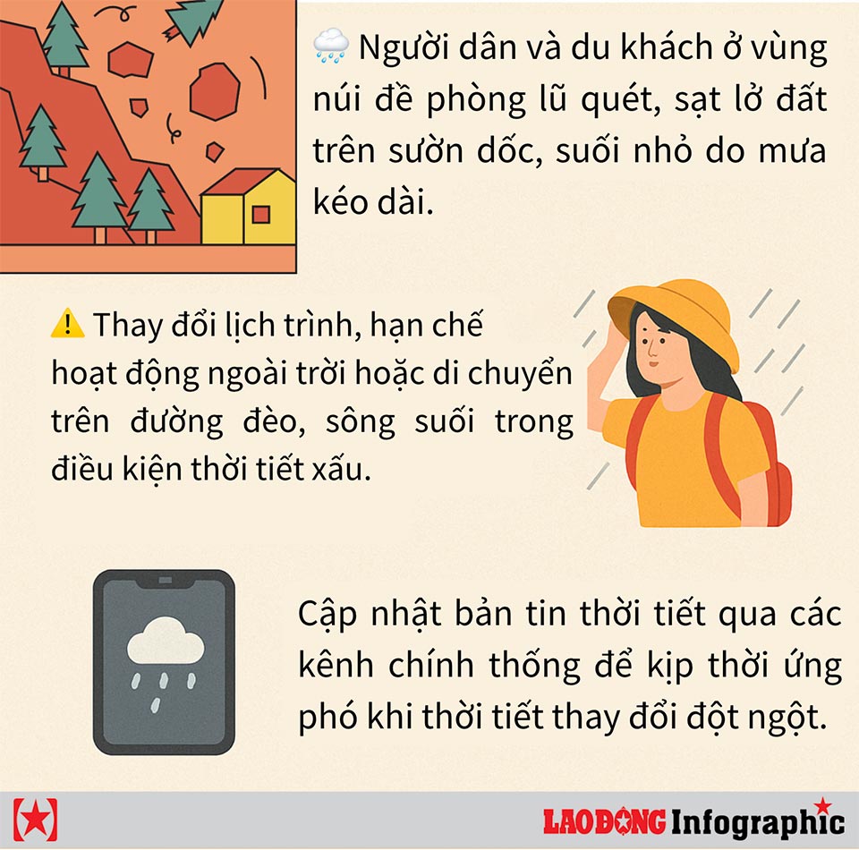
The widespread heavy rain is being warned that it may continue in the coming days in the central and south central regions.
Weather forecast from December 10 to 12, Thua Thien Hue and the South Central Coast are likely to continue to experience moderate to heavy rain, with common rainfall of 40 - 70 mm, and very heavy rain in some places can reach 150 mm.
The meteorological agency warned of the risk of heavy rain over 100 mm in three hours, which could cause localized flooding in urban areas and low-lying areas. Meanwhile, the Central Highlands region will have scattered showers and thunderstorms during the day and night of December 10, with rainfall ranging from 10 - 30 mm, some places may have heavy rain up to 70 mm.
The South continues to maintain moderate rain, heavy rain and scattered thunderstorms, with rainfall of 20 - 50 mm, some places up to 100 mm.
From December 11, heavy rain in Hue and the South Central Coast provinces is forecast to gradually decrease.