According to the updated forecast of the tropical depression near the East Sea by the National Center for Hydro-Meteorological Forecasting, the tropical depression is at 11.7°N - 120.5°E, right on the eastern coast of Palawan Island (Philippines).
The tropical depression maintains strong winds of level 6, gusts of level 8 and continues to move west at a speed of 15-20 km/h. This is an important bad weather event that needs to be monitored in the context of the tropical depression starting to affect the East Sea.
In the next 24-48 hours (until 07:00 on December 14), the tropical depression is forecast to change direction to the West Southwest with a speed of 15-20 km/h and enter the Southeast Central East Sea area.
When it reaches about 11.2°N - 116.9°E, the tropical depression is likely to weaken to below level 6, turning into a low pressure area.
The dangerous area in the East Sea during this period is located from 10.0-12.5°N and east of the 117.0°E line.
A level 3 natural disaster risk warning has been issued for the Southeast Central East Sea area, including the northeast sea area of the Truong Sa archipelago.
In the affected area, especially the Southeast sea area between the East Sea and the Northeast of Truong Sa, there are forecasts of strong winds of level 6, gusts of level 8, waves 2-4 m high, rough seas.
Meanwhile, the Joint Typhoon Warning Center (JWTC) forecasts a weakening tropical depression, no longer likely to strengthen into a tropical storm in the next 24 hours.
However, our country's weather at sea is still affected.
During the day and night of December 18, the North East Sea area (including Hoang Sa special zone) will have strong northeast winds of level 6, sometimes level 7, gusting to level 8-9; rough seas, waves 4.0-6.0m high.
The sea area southeast of the Central East Sea (including the sea area northeast of Truong Sa special zone) has winds of level 6, gusts of level 8; rough seas, waves 2.0-4.0m high, wind and wave direction changes from time to time.
The remaining areas of the Central East Sea and the sea area from Da Nang to Dak Lak will have strong northeast winds of level 6, gusting to level 7-8; rough seas, waves 3.0-6.0m high.
The sea area from Khanh Hoa to Ca Mau and the west of the South China Sea (including the sea area west of Truong Sa special zone) will have strong northeast winds of level 6, sometimes level 7, gusting to level 8-9; rough seas, waves 3.0-5.0m high.
In particular, the sea area from South Quang Tri to Hue will have northeast winds of level 5, sometimes level 6, gusting to level 7-8; rough seas, waves 2.0-4.0m high.
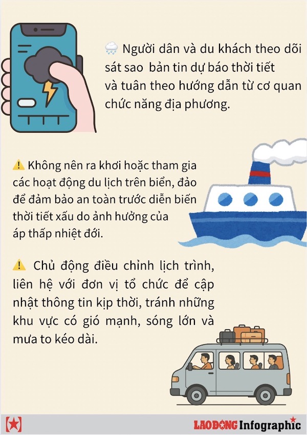
People and tourists need to follow the recommendations of the authorities, because ships operating in areas at risk of thunderstorms, whirlwinds, strong winds and big waves need to closely monitor tropical depression forecasts and proactively adjust their routes to ensure safety.