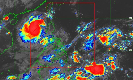
The new low pressure has just officially entered the East Sea, a new low pressure has formed

Ninh Phương |

The new low pressure area that formed after Typhoon No. 5 has entered the East Sea, and another low pressure area has appeared off the coast of the Philippines.

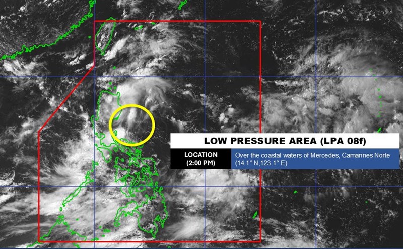
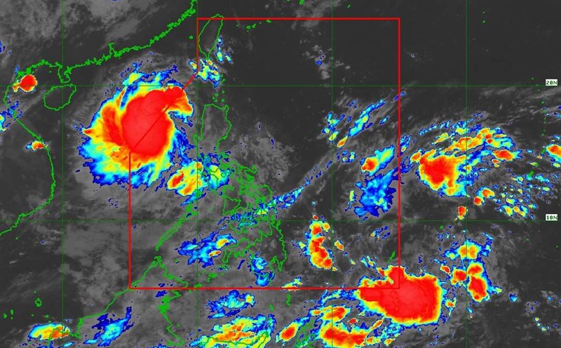
According to the low pressure forecast from the Philippine Atmospheric, Geophysical and Astronomical Services Administration (PAGASA), a low pressure has officially entered the East Sea.

At 2:00 a.m. this morning, the low pressure was located at about 16 degrees North latitude - 118.6 degrees East longitude, with an average chance of developing into a tropical depression in the next 24 hours.

Meanwhile, a new low pressure area has formed in the Philippine Area of Responsibility (PAR) and is unlikely to strengthen in the next 24 hours.

According to the National Center for Hydro-Meteorological Forecasting, the tropical convergence zone with an axis through the North East Sea connecting with the low pressure area in the East of the Philippines, at 1:00 a.m. was located at about 15.5-16.5 degrees North latitude and 119.5-120.5 degrees East longitude.

At Hon Ngu station (Nghe An), there are gusts of wind of level 8; Phu Quy station (Lam Dong) has strong winds of level 6, gusting to level 7.

Forecast for the day and night of August 27, the sea area from Lam Dong to Ho Chi Minh City, the central East Sea area, the northern sea area of the South East Sea area (including the sea area north of Truong Sa archipelago) will have southwest winds of level 6, gusting to level 7-8; rough seas.

Wave height: 2.0-3.5m, southwest direction.

In addition, other sea areas including the Gulf of Tonkin, the sea area from South Quang Tri to Ca Mau, Ca Mau to Kien Giang, the Gulf of Thailand, the North, Central and South East Sea areas (including the Hoang Sa and Truong Sa archipelagos) will have scattered showers and thunderstorms. During thunderstorms, there is a possibility of tornadoes, strong gusts of wind of level 6-7 and waves over 2.0m high.

All ships operating in the above areas are at high risk of being affected by tornadoes, strong winds and big waves.

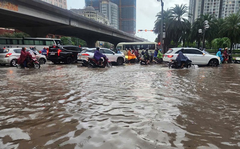
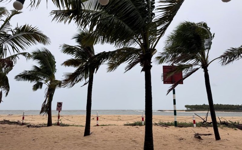
People and tourists need to pay attention to weather forecasts and proactively change activities and schedules to ensure safety if the weather turns bad due to the influence of low pressure in the East Sea.

Ninh Phương
TIN LIÊN QUAN

Weather forecast for tomorrow, August 27: New low pressure is about to enter the East Sea, rain across the country

|

Weather forecast for tomorrow, August 27, the whole country will continue to experience thunderstorms. The weather may turn bad as a new low pressure approaches the East Sea after storm No. 5.

New low pressure approaches the East Sea after storm No. 5, bad weather forecast

|

Storm No. 5 Kajiki has just weakened, a new low pressure has appeared near the East Sea and is likely to strengthen into a tropical depression.

Hanoi will have showers until the end of the week even though storm No. 5 weakens into a low pressure area

|

Hanoi weather forecast continues to have scattered thunderstorms due to the influence of storm No. 5.

Low pressure follows storm No. 5 Kajiki approaching the East Sea

|

While storm No. 5 is strengthening in the East Sea, a new low pressure near the East Sea is likely to strengthen into a tropical depression.

Weather forecast for tomorrow, August 27: New low pressure is about to enter the East Sea, rain across the country

Ninh Phương |

Weather forecast for tomorrow, August 27, the whole country will continue to experience thunderstorms. The weather may turn bad as a new low pressure approaches the East Sea after storm No. 5.

New low pressure approaches the East Sea after storm No. 5, bad weather forecast

Ninh Phương |

Storm No. 5 Kajiki has just weakened, a new low pressure has appeared near the East Sea and is likely to strengthen into a tropical depression.

Hanoi will have showers until the end of the week even though storm No. 5 weakens into a low pressure area

Ninh Phương |

Hanoi weather forecast continues to have scattered thunderstorms due to the influence of storm No. 5.

Low pressure follows storm No. 5 Kajiki approaching the East Sea

Chí Long |

While storm No. 5 is strengthening in the East Sea, a new low pressure near the East Sea is likely to strengthen into a tropical depression.