New developments of low pressure near the East Sea likely to become a storm

Thanh Trà |

The possibility of the low pressure near the East Sea strengthening into a storm cannot be ruled out.

On the morning of April 29, the low pressure area was located about 695km east of Davao City (Mindanao, Philippines), according to information from the Philippine Atmospheric, Geophysical and Astronomical Services Administration ( pagasa).

Although the possibility of developing into a storm or tropical depression in the next 24 hours is still low, this agency does not rule out the possibility of the depression strengthening in the coming days.

The low pressure area is currently combining with the tropical convergence zone, causing scattered showers and thunderstorms over a wide area in Mindanao, Palawan, Visayas and may extend to the Bicol region. Satellite photo: Pagasa

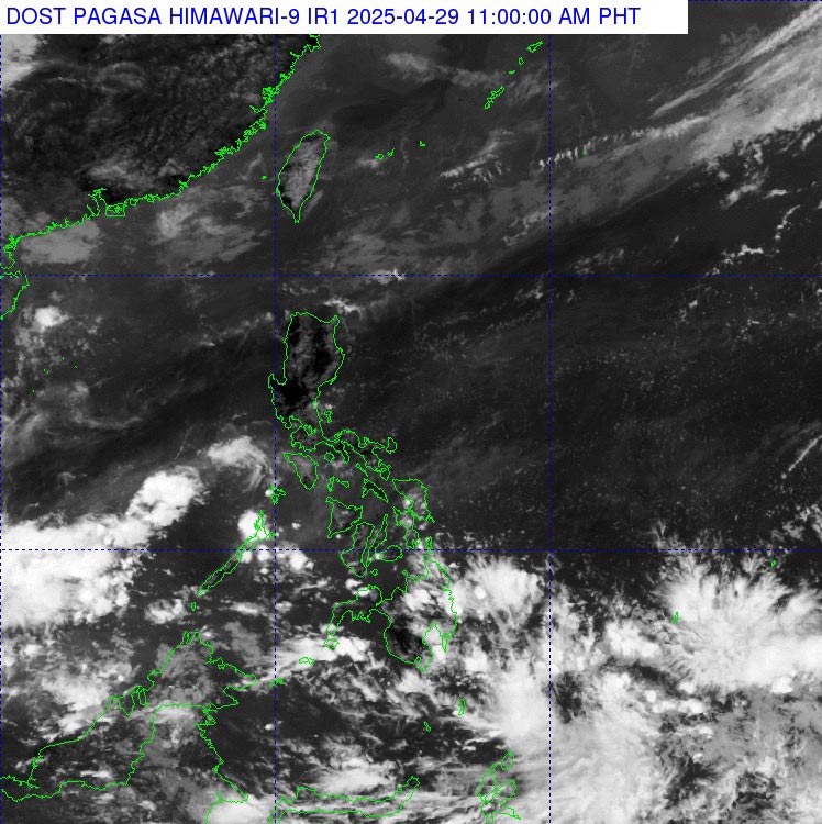
In particular, the Caraga and Davao Region are warned of localized moderate to heavy rain, posing a potential risk of flash floods and landslides.

Meanwhile, Luzon and the rest of Visayas will continue to experience hot and humid weather, but thunderstorms may appear in the late afternoon due to the impact of the winter wind.

People and tourists in areas affected by the low pressure are advised to closely monitor weather reports and be on guard against extreme weather phenomena such as heavy rain, thunderstorms, flash floods and landslides.

Thanh Trà
TIN LIÊN QUAN

Forecast of the possibility of a new low pressure area strengthening into a storm near the East Sea

|

A low pressure area entered the Philippine area of responsibility on the morning of April 28. The meteorological agency is monitoring the possibility of the low pressure area strengthening into a storm on May 1.

Forecast of the possibility of a new low pressure area strengthening into a storm near the East Sea

Thanh Trà |

A low pressure area entered the Philippine area of responsibility on the morning of April 28. The meteorological agency is monitoring the possibility of the low pressure area strengthening into a storm on May 1.