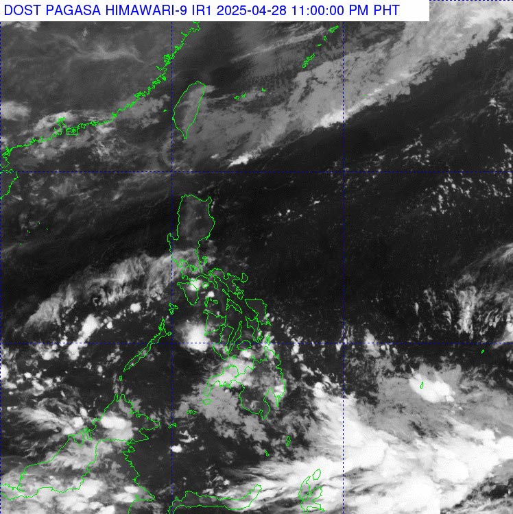
According to the weather forecast bulletin of the Philippine Atmospheric, Geophysical and Astronomical Services Administration ( pagasa), at 3:00 p.m. on April 28, the low pressure area was located about 735 km east of General Santos City.
This low pressure area is located in the tropical convergence zone, affecting the weather in Palawan and Mindanao in the Philippines.
Due to the influence of low pressure, thunderstorms and lightning, this area appeared.
Mr. Daniel James Villamil, an expert at Pagasa, predicted that this low pressure area is unlikely to strengthen into a storm within the next 24 hours.
However, the meteorological agency has not yet ruled out the possibility of this low pressure area developing into a tropical storm on May 1. The low pressure is likely to continue to strengthen into a storm as it approaches Mindanao, according to Sunstar.
Pagasa weather expert Benison Estareja said the rain will continue in Mindanao, Visayas and Palawan due to the influence of the tropical convergence zone.
These humid weather conditions are expected to last until Tuesday, April 29, increasing the risk of flash floods and landslides in areas with moderate to heavy rain, including Davao and Soccsksargen.
Meanwhile, in addition to the rain, many areas on the island are still experiencing a dangerous heat wave of 42 to 44 degrees Celsius.
The meteorological agency recommends that people and tourists should drink plenty of water, limit going out to the sun and avoid outdoor physical activities to prevent diseases related to heat.
In addition, with the possibility of the low pressure strengthening into a storm, people and tourists need to monitor weather reports and warnings from local authorities.
Limit travel to mountainous areas, along rivers and streams or low-lying areas at risk of flooding and landslides.
Prevent safe travel options and proactively shorten the journey if necessary.

