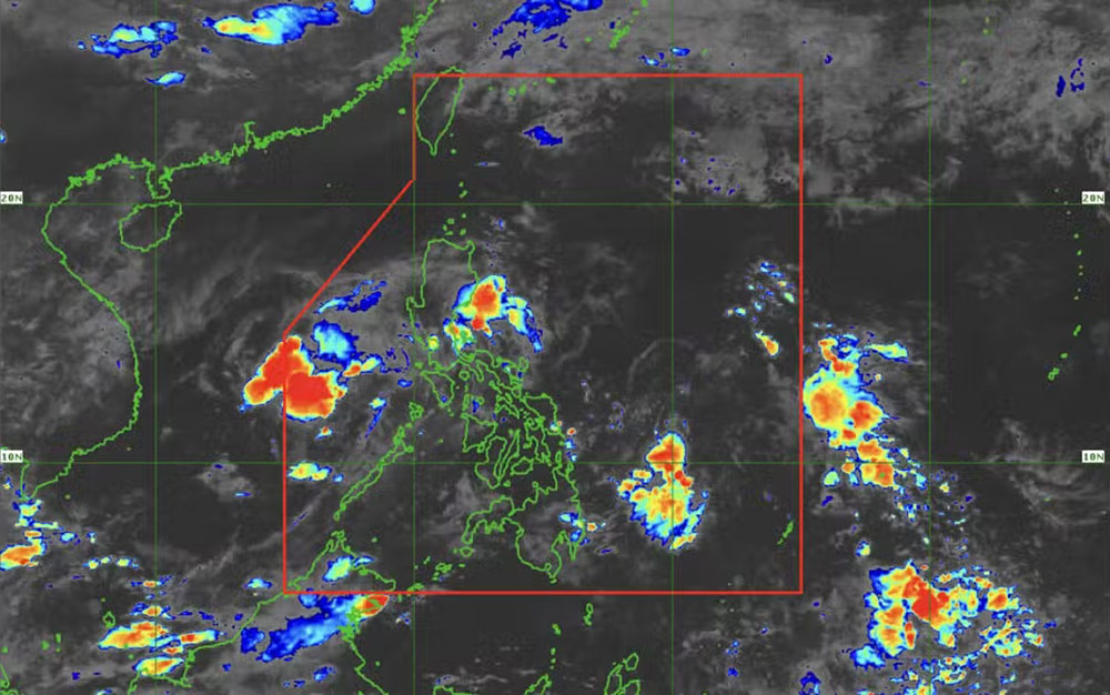
According to information from the Philippine Atmospheric, Geophysical and Astronomical Services Administration ( pagasa), the last location of the low pressure was recorded about 460 km west of Coron, Palawan, with a very low chance of developing into a tropical storm.
"This low pressure is likely to leave the Philippine Area of Responsibility (PAR) or gradually dissipate," said Chenel Dominguez, a weather expert from Pagasa.
Today's weather forecast in the affected areas of the Philippines will be cloudy with scattered showers in Mimaropa, Bicol, Quezon and Batangas due to the trough or extension of this low pressure.
This weather situation will continue until June 6 in the Philippine sea area.
Tourists in the Philippines note that the rainy season in this island nation is now approaching, so the weather will have scattered showers and thunderstorms, increasing in intensity.
According to the National Center for Hydro-Meteorological Forecasting, on the morning of September 5, in the eastern sea of the Central and South East Sea, the area from Ca Mau to Kien Giang and the Gulf of Thailand, there were showers and thunderstorms.
Weather forecast for the day and night of May 5, showers and thunderstorms in the eastern sea of the Central and South East Sea (including the eastern sea of Truong Sa archipelago); The sea area from Ca Mau to Kien Giang and the Gulf of Thailand.
People and tourists should pay attention to warnings during thunderstorms with the possibility of tornadoes and strong gusts of wind of level 6-7.
Ship operating in the above areas are at high risk of being affected by tornadoes at sea, strong gusts of wind and big waves.


