According to the National Center for Hydro-Meteorological Forecasting, around early morning on February 23, this cold air mass will affect the Northeast region, then affect the North Central, Northwest and Central Central regions. The northeast wind inland is strong at level 3-4, coastal areas at level 4-5, and some places have gusts of level 6.
In the North, from the night of February 23, it will be very cold, with some mountainous areas experiencing severe cold. The North Central region is cold, some places in the North are very cold. The lowest temperature in this cold air mass in the North is generally from 11-14 degrees Celsius, in high mountainous areas it is below 7 degrees Celsius. The North Central region is generally 13-16 degrees Celsius, the Central Central region is generally 17-20 degrees Celsius.
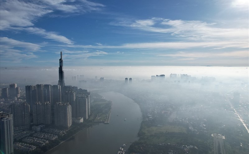
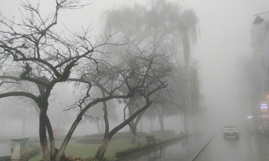
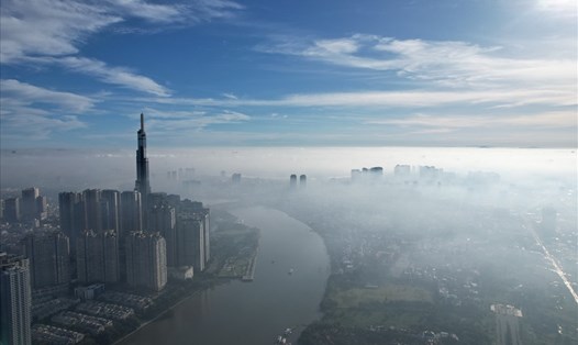
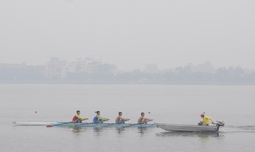
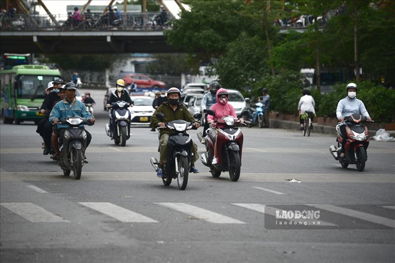
The Hanoi area will be very cold from the night of February 23. The lowest temperature in this cold air mass is generally 12-14 degrees Celsius. The decreasing temperature has caused the phenomenon of moisture in the past few days to decrease.
From February 23, in the Gulf of Tonkin, the Northeast wind will gradually increase to level 6, sometimes level 7, gusting to level 8-9, rough seas, waves 2.0-3.5m high. In the North East Sea area (including the sea area of Hoang Sa archipelago), the Northeast wind will be strong at level 6, sometimes at level 7, gusting to level 8-9, gradually increasing to level 7, gusting to level 9, rough seas, waves 4.0-6.0m high.
From the night of February 23, the sea area from Quang Tri to Binh Thuan will have strong northeast winds of level 6, gusting to level 7-8, rough seas, waves 3.0-5.0m high, especially from Binh Dinh to Binh Thuan 2.0-4.0m.
Due to the influence of the strengthening cold air combined with the strong wind in the high-altitude West wind zone on February 23-24, the Northern and North Central regions will have rain and light rain.
In the current weather conditions, people and tourists coming to the Northern and North Central regions should prepare more warm clothes and thermal clothing, especially for children and the elderly. Bring umbrellas and raincoats outside to prevent sudden changes in weather.