According to the rain forecast bulletin from the National Center for Hydro-Meteorological Forecasting, the rainfall recorded from 07:00 to 15:00 on August 05 at some stations is as follows:
Phin Ho 3 (Lai Chau): 51.4mm
Lung Phinh (Lao Cai): 50.0mm
Vinh Quang (Cao Bang): 36.8mm
Na Loi (Nghe An): 42.0mm
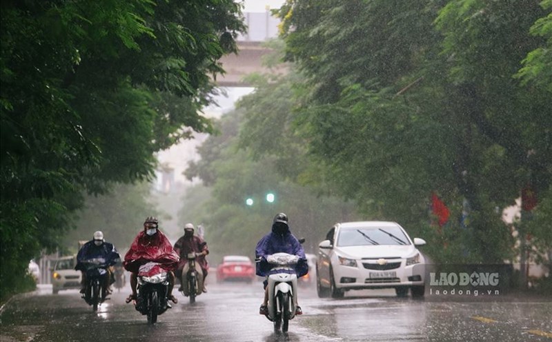
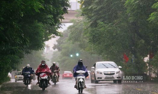
From the evening of August 05 to the morning of August 7, the mountainous and midland areas of the North will continue to have moderate rain, heavy rain and thunderstorms, with some places having very heavy rain.
Rainfall is generally from 50-100mm, in some places over 250mm. The rain will be mainly concentrated in the late afternoon and night.
Warning of the risk of heavy rain, over 100mm within 3 hours.
In addition, in the evening and night of August 5, other areas in the North will have rain, moderate rain, locally heavy rain (20-40mm, some places over 70mm).
Thanh Hoa and Nghe An areas will have scattered showers and thunderstorms, locally heavy rain (10-30mm, some places over 60mm).
During thunderstorms, there is a possibility of tornadoes, lightning, hail and strong gusts of wind.
From the afternoon of August 7, heavy rain in the mountainous and midland areas of the North will gradually decrease. However, dangerous weather phenomena such as tornadoes, lightning, hail and strong gusts of wind may continue.
The Central Highlands and the South will have local showers and thunderstorms.
Natural disaster risk level due to heavy rain, tornadoes, lightning, hail: Level 1
People and tourists in the above areas need to be on guard against the risk of flooding in low-lying areas, urban areas and industrial parks; Risk of flash floods on small rivers and streams and landslides on steep slopes.