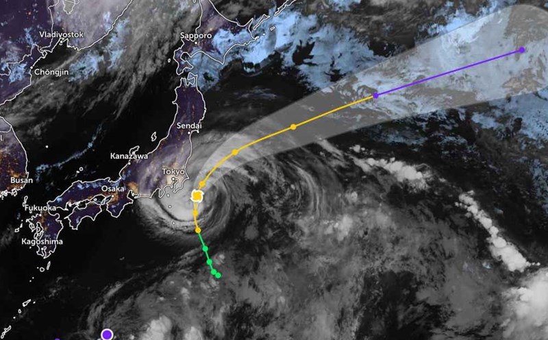
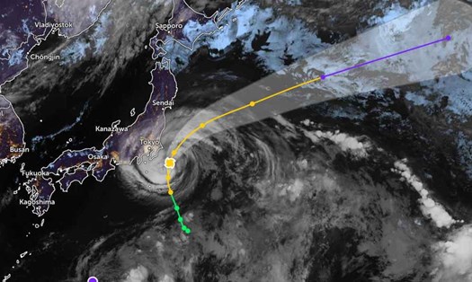
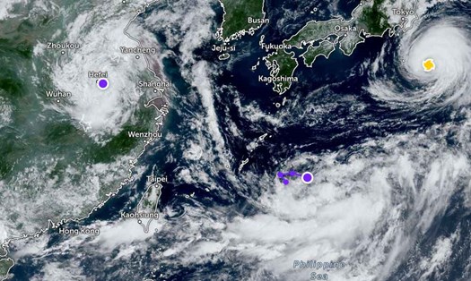
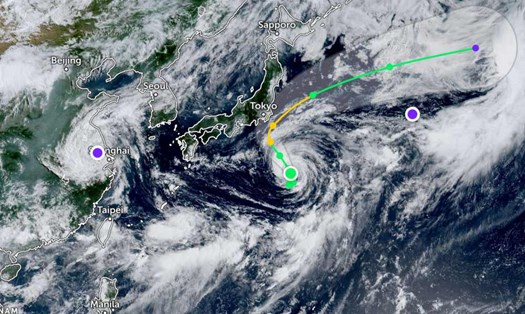
According to the latest typhoon information on August 2 from the Joint Typhoon Warning Center (JWTC), the center of Typhoon Krosa is about 139 km east-south of Narita Airport (Japan), and is moving north of the North‐South at a speed of about 17 km/h.
Waves in the area can reach a maximum of about 7.6m, causing danger to boats, ports, water sports athletes...
The next 24-36 hours are forecast to have the possibility of a slight increase in the storm, with winds remaining at about 100-110 km/h.
After that, Typhoon Krosa is likely to weaken, with winds reduced to only about 55 km/h.
The Japan Meteorological Agency (JMA) has specifically warned that from Izu Island to Kanto urban area (including Tokyo), from Friday evening, August 1 to Saturday morning, the country's coastal areas will experience waves 5-6 m high, with concentrated rainfall of up to 100 mm in 24 hours (Izu Island), 60 mm in Kanto the following day.
Strong winds in Kanto may exceed 126 km/h ( strong gusts); on Izu Island, it will be around 108 km/h.
Tourists in Japan should proactively check their flight schedules as there is a possibility of flight cancellations at Narita, Haneda and domestic airports.
Do not participate in activities at sea such as rowing, fishing, walking, diving, etc.