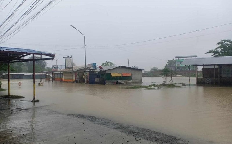
According to the Philippine Atmospheric, Geophysical and Astronomical Services Administration (PAGASA), a cluster of clouds in eastern Mindanao developed into a low pressure area at 8 a.m. on December 16. There is a possibility that the low pressure area will strengthen into a tropical depression in the next 24 hours, but the possibility is quite low.
However, PAGASA advised residents to be on guard against heavy rainfall due to shear lines (convergence areas of cold and hot winds that cause rain).
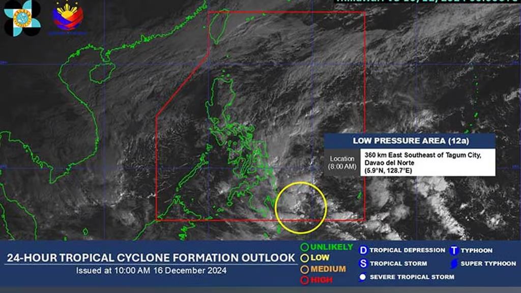
Meanwhile, the US Joint Typhoon Warning Center (JTWC) named the upcoming low pressure system 96W. The low pressure system will bring widespread showers and is likely to strengthen into a tropical depression and tropical storm on December 17 or 18 in Mindanao.
The weather system will then move west southwest across Mindanao over the weekend.
JTWC forecasts a 90% chance of the low pressure forming and strengthening into a tropical depression within 7 days.
On the other hand, the National Center for Hydro-Meteorological Forecasting forecasts that on the day and night of December 16, the sea area from Binh Dinh to Ca Mau, from Ca Mau to Kien Giang will have scattered showers and thunderstorms. During thunderstorms, there is a possibility of tornadoes and strong gusts of wind of level 7-8.
Forecast for the day and night of December 17, the sea area from Binh Dinh to Ca Mau, the North East Sea area (including the Hoang Sa archipelago) will have Northeast wind level 6, sometimes level 7, gusting to level 8-9. Rough sea; waves 3-5m high.
The western sea area of the South China Sea (including the western part of Truong Sa archipelago) has northeast wind level 6, gusting to level 7-8. Rough sea, waves 3.0-5.0m high. Natural disaster risk level due to strong winds at sea: level 2.
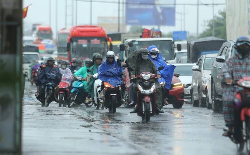
Although no storm has formed yet, residents and tourists traveling to the Philippines in the next few days should pay attention to flight schedules and check weather forecasts to avoid rain and wind affecting their journey. In addition, they should bring umbrellas, raincoats and warm clothes in case of rain and cold.

