Dindo, the Philippines' No. 4 storm in 2024, has strengthened into a tropical storm. The storm is expected to leave the country's area of responsibility (PAR) today, according to the 5 a.m. bulletin on August 19 of the Philippine Atmospheric, Geophysical and Astronomical Services Administration (PASAGA).
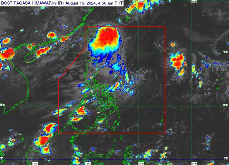
Maximum sustained winds of 65 km/h near the center, gusts of up to 80 km/h and moving northeast at a speed of 10 km/h.
Currently, no tropical storm wind signals have been issued due to this weather disturbance.
Pagasa said tropical storm Dindo is unlikely to directly affect weather conditions in the country during the forecast period .
The tropical storm is forecast to move generally northward over the forecast period and leave PAR on August 19.
When moving out of the PAR area, tropical storm Dindo will move toward the Korean Peninsula. or the east coast of China.
According to weather forecasts, Dindo will likely remain a tropical storm during the forecast period. The storm is likely to weaken over the next 24 hours.
However, Dindo and the southwest monsoon will affect the weather at sea, causing waves from 1 to 2 meters high in the northernmost region of Luzon, Philippines.
PAGASA advises small vessels to take precautionary measures.
Therefore, tourists planning to travel to affected areas do not need to worry too much about having to change their itinerary because of extreme weather.