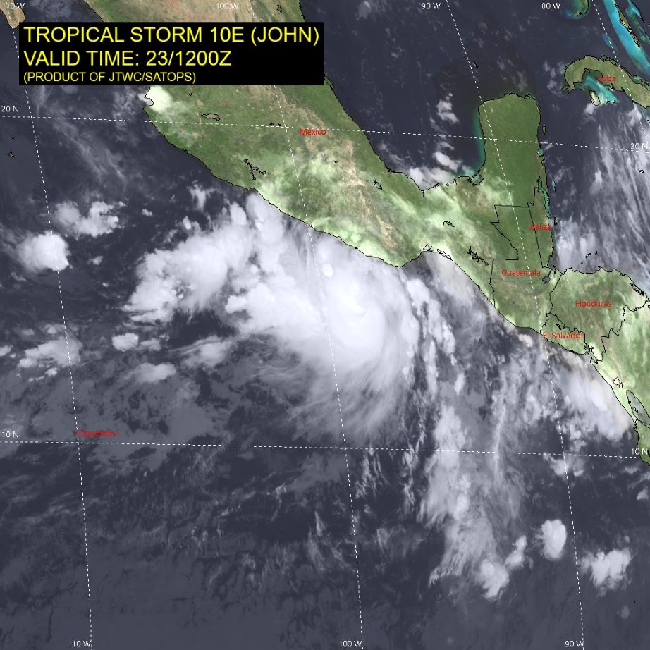
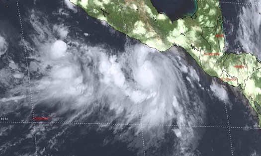
According to the latest report from the Joint Typhoon Warning Center (JTWC) of the US Air Force and Navy, Tropical Storm John (or Storm 10E) has strengthened into a powerful Category 4 storm, with maximum sustained winds of up to 90 knots (about 167 km/h) and gusts of up to 110 knots (about 204 km/h).
At 7:00 p.m. on September 23 (Vietnam time), the center of Hurricane John was determined to be located at approximately 14.6 degrees North latitude and 98.6 degrees West longitude, approximately 2,746 km southeast of San Diego (USA). The storm is moving north-northwest at a speed of approximately 7.4 km/h.

JTWC experts predict that Hurricane John will continue to strengthen over the next 24 hours, with maximum sustained winds of 167 km/h at 7:00 p.m. tomorrow (September 24) Vietnam time. After that, the storm is forecast to gradually weaken as it approaches the coast of Mexico.
The storm is expected to make landfall on Mexico's southern coast in the next 36-48 hours, bringing heavy rain, strong winds and high waves.
The JTWC also noted that the area affected by strong winds of 63 km/h or higher has a radius of up to 148 km in the southeast and southwest areas of the storm's center. In this area, waves in the storm's zone can be as high as 2.4 meters.
If you are planning to travel to the southern coastal areas of Mexico in the coming days, you should closely monitor weather forecasts and follow all instructions from local authorities.
Avoid going to the beach or participating in outdoor activities during the storm and for several days afterward.
Prepare necessary items such as drinking water, dry food, flashlight, battery-powered radio to follow the news in case of power outage.
If possible, consider changing your travel schedule to avoid areas likely to be affected by storms.


