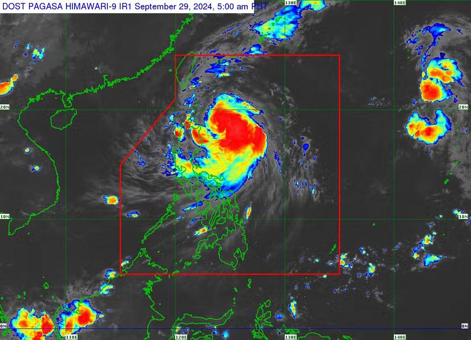
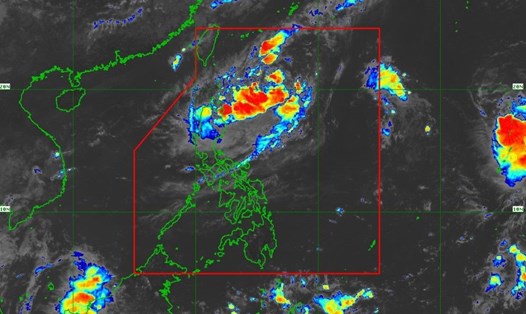
According to the latest storm forecast, the Philippine Atmospheric, Geophysical and Astronomical Services Administration (PAGASA) recorded the eye of Typhoon Julian about 305 km east of Aparri municipality, Cagayan province.
The storm is moving west-northwest at a speed of 10 km/h, with maximum sustained winds of 95 km/h and gusts of 115 km/h. From the center of the storm, strong winds have a range of influence reaching 450 km.
Hurricane Julian is also likely to reach hurricane strength on the evening of September 29 or the morning of September 30.

“According to the forecast, there is a high possibility of a typhoon making landfall or approaching the mainland tomorrow (September 30) over Batanes and/or Babuyan Islands,” PAGASA said.
PAGASA forecasts a high possibility of rapid strengthening and “the possibility of reaching super typhoon status cannot be ruled out.”
Gale warnings have been issued for the northern and eastern seas of Northern Luzon.
“Sea travel poses many risks to small vessels, including all types of small motorized boats,” PAGASA warned.
Strong winds and rough seas pose risks to most types of vessels traveling by sea. PAGASA advises crews and fishermen to remain in port, seek shelter or anchor safely.
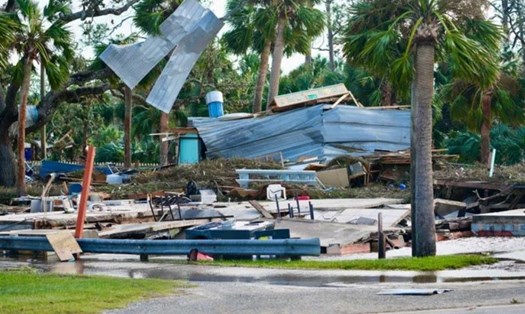
Provinces in Northern Luzon are on high alert as Typhoon Julian has flooded schools and stranded a fishing boat in Cagayan.
Several towns, including Sta. Ana, Gonzaga and Baggao, are on red alert, banning boating, fishing and swimming in the sea during this time.
Tourists in areas forecast to be affected by Hurricane Julian in the next few days should pay attention to weather reports and follow instructions from local authorities. Update the latest announcements from airlines, tourism service providers, transportation, accommodation... to adjust their schedules if necessary.


