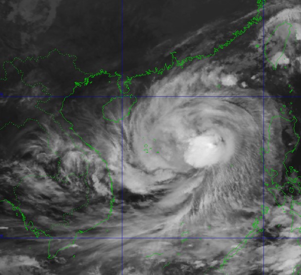
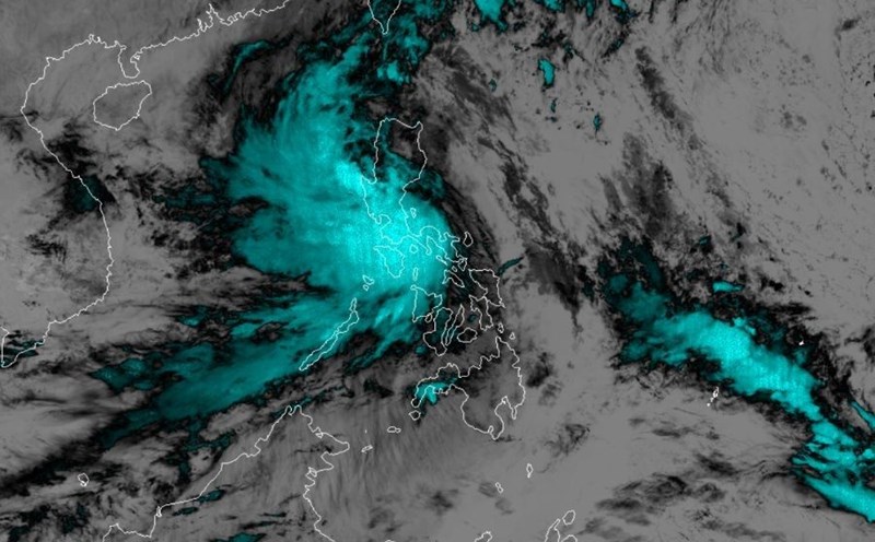
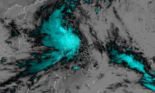
According to the National Hydrometeorological Center, at 7:00 p.m. on October 25, the center of storm No. 6 was located at about 17.6 degrees North latitude; 116.0 degrees East longitude, in the eastern sea of the North East Sea, about 410km East Northeast of Hoang Sa archipelago.
The strongest wind near the storm center is level 10 (89-102km/h), gusting to level 12. Moving west at about 20km/h. From 72 to 120 hours later, the storm will move mainly east at 5-10km per hour, continuing to weaken.

The National Center for Hydro-Meteorological Forecasting issued a level 1 warning of natural disaster risk due to heavy rain from storm No. 6.
From the evening and night of October 26 to October 28, in the area from Quang Tri to Quang Ngai, there will be heavy to very heavy rain with total rainfall ranging from 300-500mm, locally over 700mm. Warning of the risk of localized heavy rain (over 100mm/3 hours).
Ha Tinh - Quang Binh, Binh Dinh and the Northern Central Highlands regions have heavy rain, locally very heavy rain with total rainfall ranging from 100-200mm, in some places over 300mm.
From the morning of October 27, on the mainland along the coast from Quang Binh to Quang Ngai, the wind will gradually increase to level 6-7, near the storm center level 8-9, gusting to level 11. Heavy rain is likely to cause flooding in low-lying areas; flash floods on small rivers and streams, landslides on steep slopes.
The development of storm No. 6 is still very complicated and can change suddenly depending on weather patterns. People and tourists should monitor the situation and proactively respond.


