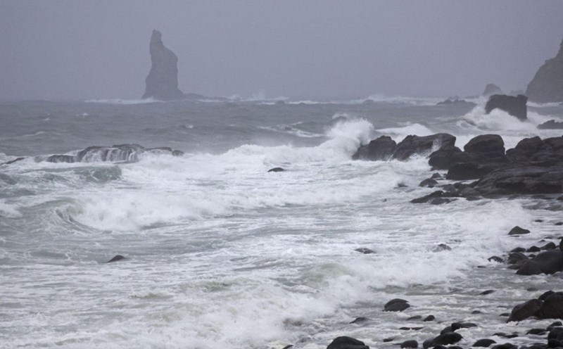
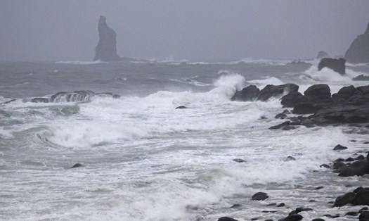
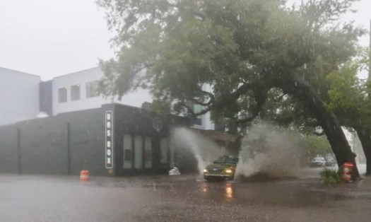
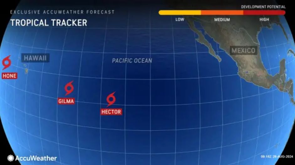
After Hurricane Hone made landfall south of Hawaii on August 25 with devastating effects, two other tropical storms are moving from the central Pacific toward the archipelago - Gilma and Hector.
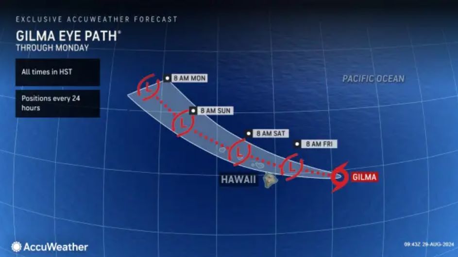
Both storms are expected to make landfall in Hawaii at the same time next week in September, a rare occurrence, according to AccuWeather meteorologists.
Despite downgrading from a Category 3 hurricane to a tropical storm with maximum sustained winds of 50 mph (85 km/h), Gilma is still expected to bring significant rainfall to Hawaii and maintain tropical storm intensity.
As it moves east of Hawaii, winds will continue to weaken with some unpredictable fluctuations. While the storm’s center may not cause major impacts, scattered showers and thunderstorms could still cause significant damage.
One notable point is that Gilma could bring much-needed rain to areas of Hawaii that are suffering from prolonged drought. Normally, the northeast trade winds create a rain shadow effect on the southern and western slopes, leading to drought conditions. However, Gilma’s northern approach could alleviate this drought.
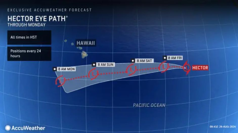
AccuWeather meteorologists are also tracking another tropical storm, Hector, a few hundred miles southeast of Gilma. Hector is also moving toward Hawaii. After passing through the area affected by Gilma and Hone, Hector could encounter cooler waters, limiting its strengthening. However, the storm will still bring heavy rain, thunderstorms and gusty winds to the islands, especially the Big Island.
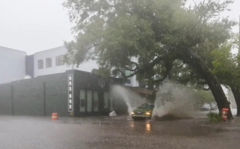
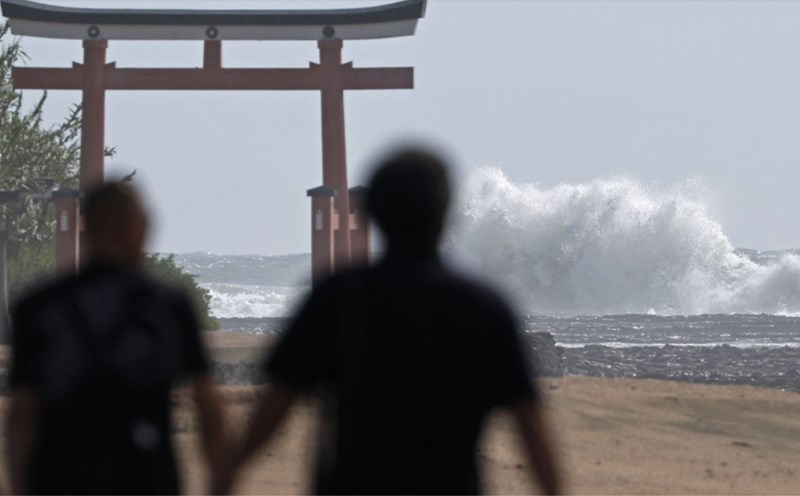
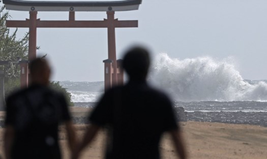
The combination of Gilma and Hector could bring heavy rain, damaging winds, and large waves around Hawaii. While this could be beneficial to some areas that need the rain, it could also cause problems such as flash flooding, landslides, and dangerous impacts on beach tourism. As such, residents and visitors should closely monitor weather reports and prepare for emergencies.