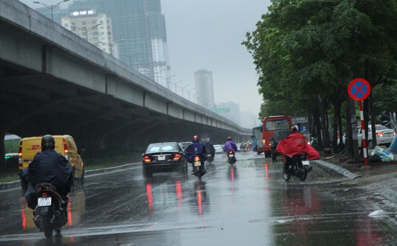
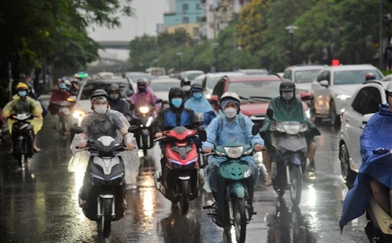
According to the latest weather forecast from the National Center for Hydro-Meteorological Forecasting, today, September 1, the Hanoi area will be cloudy with occasional showers and thunderstorms. The highest temperature is from 30-32 degrees Celsius.
In the late afternoon and evening of September 1, Phuc Loi, Viet Hung, Bo De, Long Bien wards... will have showers and thunderstorms. After that, thunderstorms also affected Hong Ha, Ba Dinh, Hoan Kiem, Ngoc Ha, Tay Ho, Giang Vo wards...
The thunderstorm area may expand to other wards in Hanoi's inner city. During the rain, there is a possibility of tornadoes, lightning and strong gusts of wind.
People and tourists planning to walk outdoors, preparing to watch the A80 parade should pay attention to bringing umbrellas and raincoats to prevent sudden changes in weather.
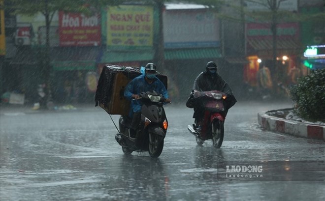
Meanwhile, today, the southern area of the Northern Delta, Thanh Hoa, the area from Quang Ngai to Lam Dong and the South will have scattered showers and thunderstorms, locally heavy rain. Rainfall in some places was over 50mm, such as: Xuan Thuy (Ninh Binh) 54.8mm, Suoi Tien (Khanh Hoa) 65.3mm, Nhon Tho (Gia Lai) 60.8mm, U Minh (Ca Mau) 70mm.
It is forecasted that this evening and tonight, September 1, the Northeast region, from Thanh Hoa to Ha Tinh, will have scattered showers and thunderstorms, with rainfall of 10-30mm, locally over 80mm.
This afternoon and evening, from Quang Tri to Lam Dong and the South, there will be scattered showers and thunderstorms, with rainfall of 10-40mm, locally over 90mm.
Warning of the risk of heavy rain, rainfall over 80mm/3 hours. During thunderstorms, tornadoes, hail and strong gusts of wind may occur. Localized heavy rain can cause flash floods on small rivers and streams, landslides on steep slopes, and flooding in low-lying areas.