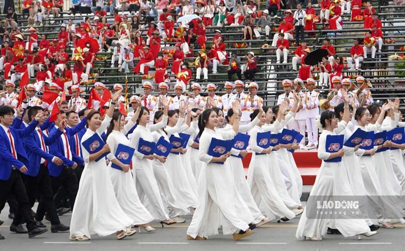
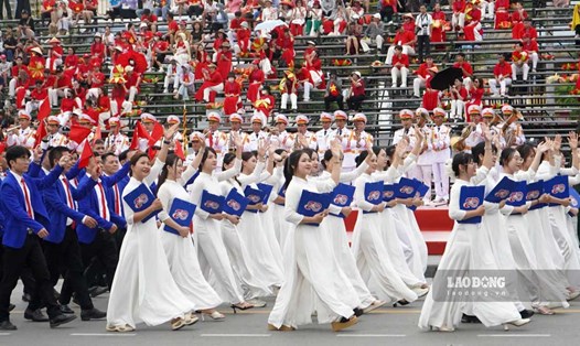
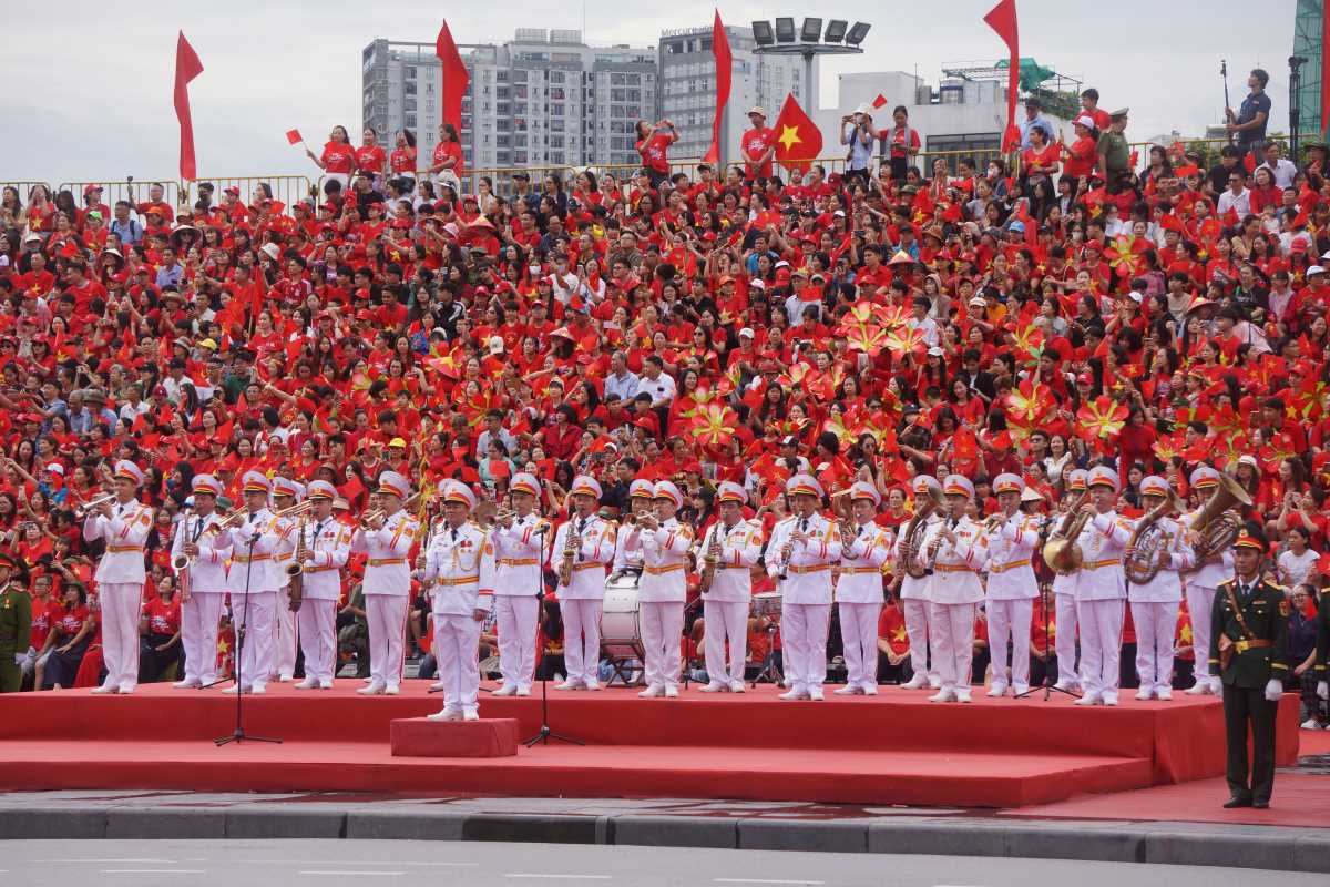
On May 11, the team approval program and mass parade to celebrate the 70th Anniversary of Hai Phong Liberation Day (May 13,55 - May 13, 2025) and the 2025 Red Phuong Flower Festival officially took place.
The delegation approved the team and marched widely at the City Theater Square and the streets in the City Central strip, attracting a large number of people and tourists to attend.
To ensure traffic safety and order throughout the 70th Anniversary of Hai Phong Liberation Day and the Opening Art Program of the Phuong Do - Hai Phong Flower Festival in 2025, Hai Phong City Police continued to temporarily divert traffic on Tuesday, May 13.
According to the plan, from 2:00 p.m. to 11:00 p.m. on May 13, 2025, many roads in the central area of Thuy Nguyen City and Hai Phong City will temporarily completely ban vehicles and pedestrians.
The routes that prohibit all vehicles and pedestrians include:
- That Khe Street;
- Hoang Van Thu Street and Hoang Van Thu Bridge;
- Do Muoi Street (from Hoang Van Thu - Nguyen Tri Phuong intersection to the intersection with Dong Tay 1A Street);
- Dong Tay Road;
- Tran Kien Street;
- Bac Nam Road;
- East-West Road 1A;
- Adjacent branch routes in the Thuy Nguyen City Administrative Center area (where the event is held);
Routes that ban all vehicles:
- Binh Bridge Street (from the South Binh Bridge intersection to Binh Bridge);
- Binh Bridge;
- Provincial Road 359 (from Binh Bridge to Intersection with Road 9C - VSIP Industrial Park);
- Mang Road - Thuy Nguyen City (from the intersection with Provincial Road 359 to the intersection with Road 9C - VSIP Industrial Park);
- Adjacent branch routes directly connecting to the above-mentioned sections and routes.
Routes prohibited for trucks and passenger cars:
Transairs and passenger buses on National Highway 10 (from Quan Toan intersection to Da Bac bridge) are banned during the ban period, trucks and passenger buses are allowed to travel between Hai Phong and Quang Ninh, according to the roadmap:
- Directions from Hai Phong to Quang Ninh:
+ Quy Cao Intersection - Provincial Road 391 - Provincial Road 39B - National Highway 5 - National Highway 37 - National Highway 18.
+ National Highway 10 - Hanoi - Hai Phong - Quang Ninh Expressway;
+ Quang Thanh Bridge - Provincial Road 390 - National Highway 37 - National Highway 18,
+ Dinh Bridge - Thanh Nien Street - Tran Hung Dao Street - National Highway 17B - National Highway 18,
+ Quan Toan Intersection - National Highway 5 - Tien Trung Intersection - National Highway 37 - National Highway 18.
- Directions from Quang Ninh to Hai Phong: from National Highway 18, trucks and passenger cars are prohibited from traveling towards Da Bac Bridge and Ben Rung Bridge.
The routes with limited vehicles include routes in the inner city and adjacent routes leading to the Thuy Nguyen City Administrative Center.
During the road closure period, limiting vehicles, people and tourists traveling from Hai Phong inner city to Thuy Nguyen city and vice versa through Kien bridge (National Highway 10).
Both sides of Cam River: Vehicles travel through Kien Bridge, National Highway 10.
People and tourists coming to Hai Phong to visit and watch the parade on this occasion should pay attention to monitoring and updating information to choose a suitable route.