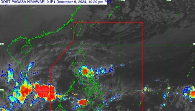
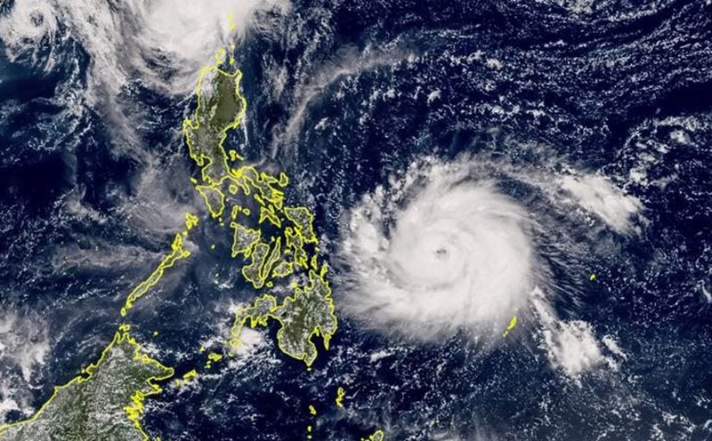
The Philippine Atmospheric, Geophysical and Astronomical Services Administration (PAGASA) said the storm could affect the Visayas and southern Luzon regions of the Philippines.
“We are currently not tracking any tropical cyclone within PAGASA’s watch during the first forecast period (December 9-15).
However, we anticipate that during the second forecast period (December 16-22), a tropical cyclone-like cyclone may form near the southern part of the tropical cyclone advisory area,” the PAGASA expert said.
Currently, the chance of tropical storm formation is low to moderate. If it enters the PAR, the new storm will be named Querubin, becoming the 17th storm to impact the country this year.
PAGASA weather expert Benison Estareja said there are currently three weather systems affecting the country, but no storms are expected to form within the next four days.

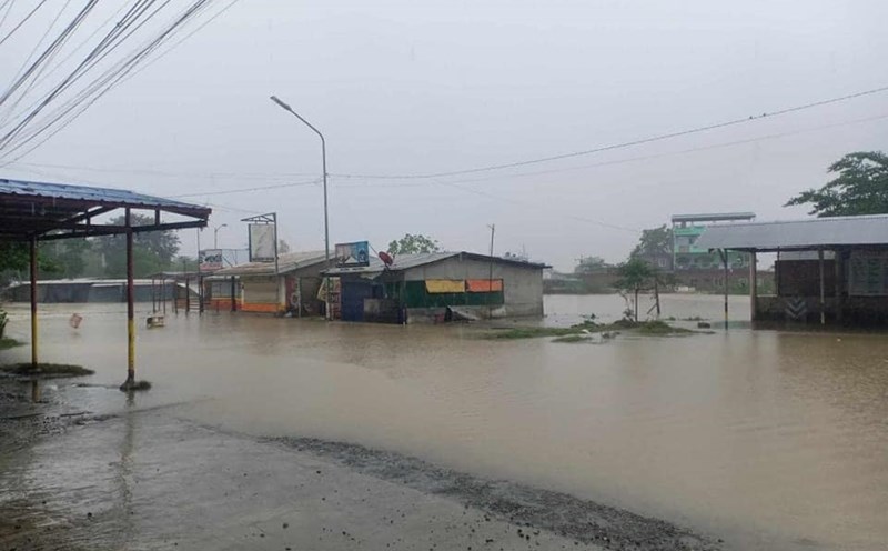
Estareja informed that the northeast monsoon will bring rains in Northern Luzon. Meanwhile, wind shear is affecting Eastern Luzon and the tropical convergence zone will affect Mindanao, Palawan and Visayas.
“We are not currently monitoring storms outside or within the PAR region, but many areas in the country will experience rains due to these three weather systems,” PAGASA weather expert Rhea Torres said earlier.
The typhoon season in the Philippines typically runs from June to December, peaking from August to October, with about 20 storms each year. PAGASA forecasts about 1-2 storms forming near PAR in December 2024.
Given the current weather conditions, tourists wishing to travel to the Philippines at this time should pay attention to weather forecasts, follow news and plan a suitable itinerary to ensure safety.


