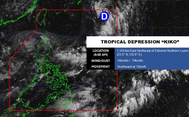
According to the latest weather forecast from the Philippine Atmospheric, Geophysical and Astronomical Services Administration, a new low pressure has appeared in the East Sea.
As of 2:00 p.m. on September 5 (local time), the center of the low pressure was located at about 18.0 degrees North latitude - 119.0 degrees East longitude, about 155 km west of Sinait, Ilocos Sur.
The low pressure is forecast to have a moderate chance of developing into a tropical depression.
Due to the influence of the low pressure, from now until noon on September 5, the Ilocos Sur, La Union, Pangasinan and Benguet regions will have heavy rain. The common rainfall was 50-100 mm.
According to the National Center for Hydro-Meteorological Forecasting, at 1:00 p.m. on September 5, the center of the low pressure area was at about 16.0 - 17.0° North latitude; 117.8 - 118.8° East longitude.
The low pressure is moving in a West-Northwest direction, traveling about 10 km/h and is likely to strengthen into a tropical depression.
Due to the influence of the low pressure circulation (later likely to strengthen into a tropical depression), from September 6, the eastern sea of the North East Sea will have showers and thunderstorms.
The wind gradually increased to level 6, gusting to level 8; waves were 2 - 4 m high, rough seas. Ship operating in the above area need to proactively prevent and ensure safety.
People and tourists planning to visit areas affected by the low pressure should pay attention to weather forecasts. Tuan follows local instructions to ensure safety.


