According to the National Center for Hydro-Meteorological Forecasting, at 7:00 a.m. on February 14, the center of the tropical depression was at about 13.3 degrees North latitude - 111.6 degrees East longitude, in the western sea area of the Central East Sea.
The strongest wind near the center of the tropical depression is level 6 (39-49km/h), gusting to level 8. The low pressure moved slowly in the South direction, at a speed of about 5km/h.
It is forecasted that by 7:00 p.m. on February 14, the tropical depression will change direction to the Southwest at a speed of about 5km/h and gradually weaken into a low pressure area. The center of the pressure is located at about 12.9 degrees North latitude - 111.0 degrees East longitude, in the offshore waters from Binh Dinh to Phu Yen.
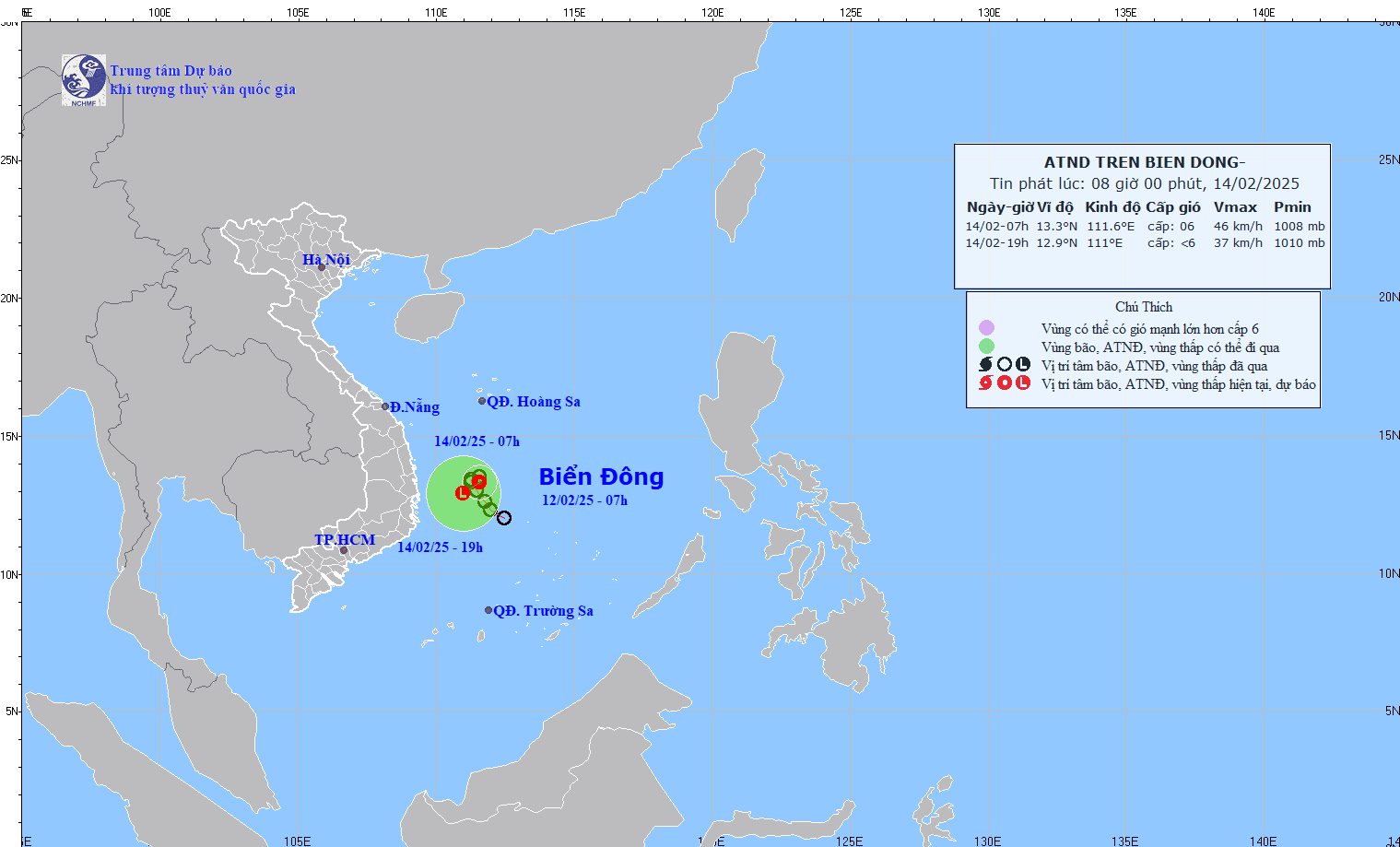
The strongest wind near the center of the low pressure is below level 6. Natural disaster risk level: level 3 for the western area of the central East Sea, the offshore waters from Binh Dinh to Khanh Hoa.
Under the influence of the low pressure, the western sea area of the Central East Sea and the offshore sea area from Binh Dinh to Khanh Hoa will have strong winds of level 6, gusts of level 8, rough seas.
The western sea area of the Central East Sea will have waves 2.0-3.5m high; the offshore sea area from Binh Dinh to Khanh Hoa will have waves 1.5-2.5m high.
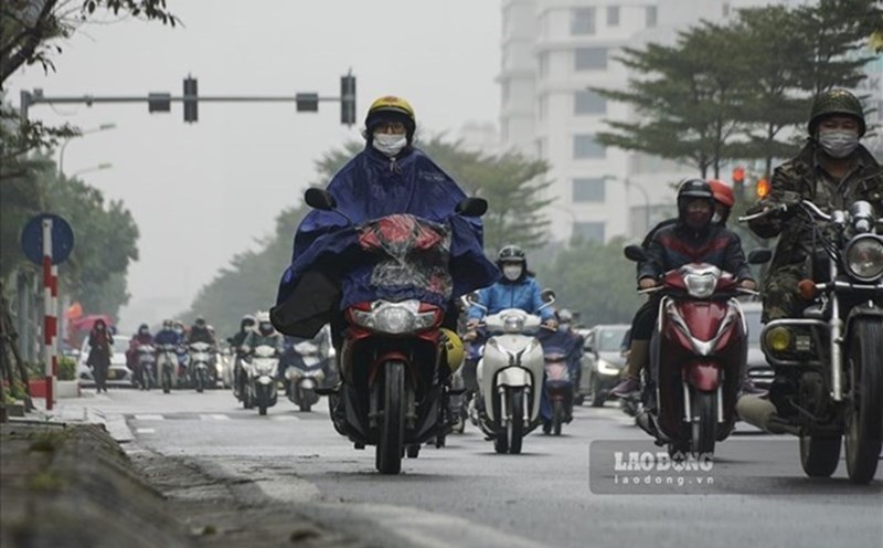
The tropical depression in the East Sea does not affect the mainland much. However, people and tourists coming to coastal areas, or exploring islands in the sea area from Binh Dinh to Khanh Hoa should pay attention to weather forecasts, bring umbrellas and raincoats to prevent sudden rain and wind. Consider adjusting travel schedules and outdoor activities in case of bad weather.