According to the latest forecast from the National Center for Hydro-Meteorological Forecasting, at 1:00 p.m. on February 13, the center of the tropical depression was located at about 13.4 degrees North latitude - 111.3 degrees East longitude, in the sea west of the central East Sea. The strongest wind near the center of the tropical depression is level 6 (39-49 km/h), gusting to level 8. The tropical depression is moving northwest at a speed of 5-10 km/h.
Forecast until 13:00 on February 14, the tropical depression is moving northwest at a speed of about 5km/h. The center of the depression is located at about 14.1 degrees North latitude - 110.8 degrees East longitude, in the offshore waters from Quang Ngai to Phu Yen. The strongest wind near the storm center is below level 6. Disaster risk level: level 3 for the western part of the Central East Sea, offshore waters from Quang Ngai to Khanh Hoa.
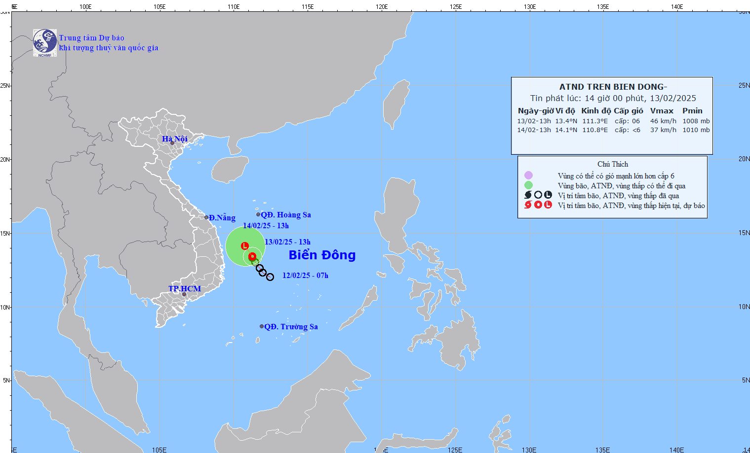
The western sea area of the Central East Sea and the southwestern sea area of the North East Sea (including the Hoang Sa archipelago), the offshore sea area from Quang Ngai to Khanh Hoa has strong winds of level 6, gusts of level 8, rough seas.
The western sea area of the Central East Sea and the southwestern sea area of the North East Sea (including the Hoang Sa archipelago) have waves 2.0-3.5m high. From February 14, the offshore sea area from Hue to Binh Dinh has waves 2.0-3.0m high.
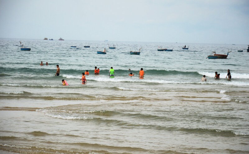
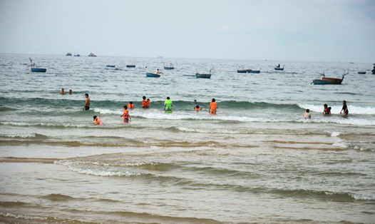
Under the influence of the tropical depression, people and tourists in coastal areas from Quang Ngai to Phu Yen should pay attention to weather forecasts, bring umbrellas and raincoats when going out to guard against sudden weather changes.