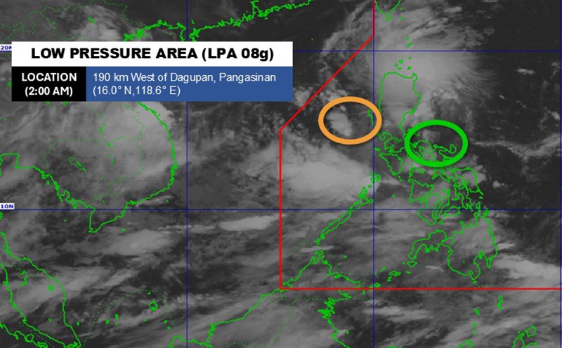
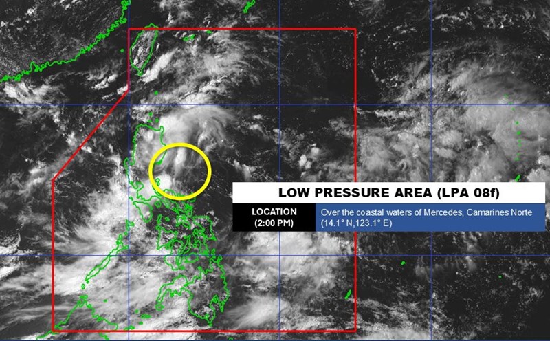
According to the Philippine Atmospheric, Geophysical and Astronomical Services Administration (PAGASA), a tropical depression is strengthening over the East Sea. The low pressure is named Jacito in the Philippines.
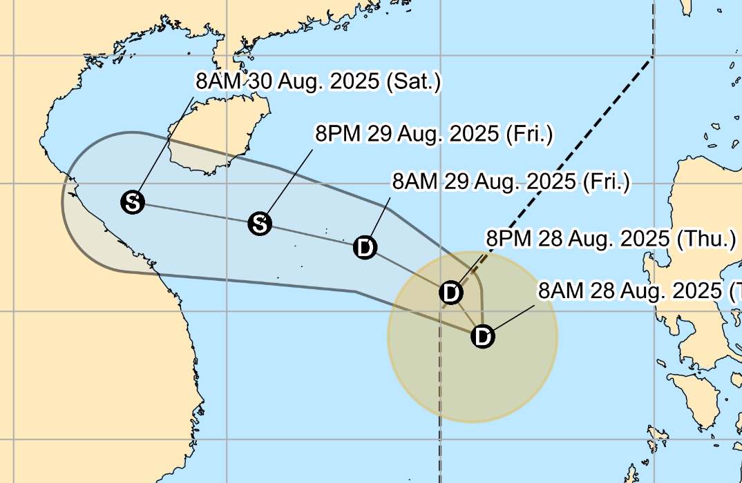
As of 11:00 a.m. on August 28, the center of the tropical depression was at about 14.6 degrees North latitude - 115.8 degrees East longitude, 480 km west of Subic Bay. The strongest wind near the center of the tropical depression remains at 45 km/h, gusting up to 55 km/h.

The tropical depression is moving in a West-Northwest direction at a speed of 20 km/h, towards the central coast of Vietnam.
PAGASA forecasts the tropical depression to strengthen into a storm tomorrow, August 29. The tropical storm is then expected to make landfall in the afternoon or evening of Saturday (August 30).
According to the National Center for Hydro-Meteorological Forecasting, at 1:00 p.m. on August 28, the center of the tropical depression was at about 15.3 degrees North latitude - 115.7 degrees East longitude, in the North East Sea, about 420km East Southeast of Hoang Sa Special Zone. The strongest wind near the center of the tropical depression is level 6-7 (39-61km/h), gusting to level 9. The low pressure is moving southwest at a speed of about 10-15km/h.
It is forecasted that by 1:00 p.m. on August 29, the tropical depression will move in the West Northwest direction at a speed of 15-20km/h and is likely to strengthen into storm No. 6. The center of the tropical depression is located at about 16.7 degrees North latitude - 112.3 degrees East longitude, in the sea area of Hoang Sa special zone. The strongest wind near the center of the low pressure is around level 7, gusting to level 9.
Natural disaster risk level: level 3 for the North East Sea area (including Hoang Sa special zone), the North Central East Sea area.
At 1:00 a.m. on August 30, storm No. 6 moved in a West-Northwest direction at a speed of about 20km/h. The center of the storm is located at about 17.1 degrees North latitude - 110.2 degrees East longitude, in the northwest sea of Hoang Sa special zone.
The strongest wind near the storm center is level 8, gusting to level 10. Natural disaster risk level: level 3 for the western sea area of the North East Sea (including Hoang Sa special zone), the sea area from Ha Tinh to Da Nang
At 1:00 p.m. on August 30, the storm moved in a West-Northwest direction at a speed of about 20km/h. The center of the storm is located at about 17.5 degrees North latitude - 107.8 degrees East longitude, in the sea area from Nghe An to Da Nang. The strongest wind near the storm center is level 8, gusting to level 10. Natural disaster risk level: level 3 for the western sea area of the North East Sea, the sea area from Nghe An to Da Nang.
From the next 48 to 72 hours, the storm will continue to move mainly in the West direction, traveling about 20km per hour and gradually weakening.
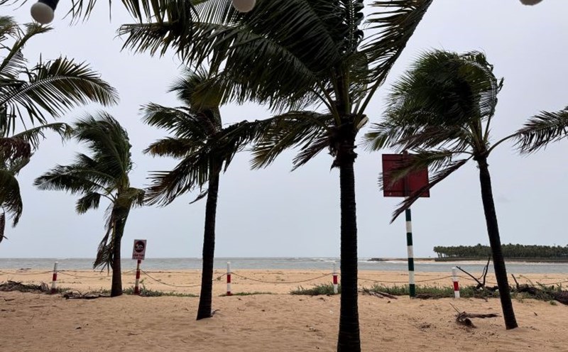
Due to the influence of the tropical depression, the North East Sea area (including Hoang Sa special zone) and the sea area north of the Central East Sea area will have strong winds of level 6-7, gusting to level 9. Waves are 2.0-4.0m high, with rough seas.
Ship operating in dangerous areas are likely to be affected by thunderstorms, whirlwinds, strong winds, and large waves.
People and tourists should pay attention to weather forecasts. Tuan follows local instructions to avoid storms that cause impacts.


