According to the latest weather forecast from the Philippine Atmospheric, Geophysical and Astronomical Services Administration (PAGASA), a low pressure area with easterly winds affecting the Northern Luzon area will cause rain in many areas of the Philippines on September 14.
The low pressure area is identified in the San Narcisco area, Quezon (Philippines). The low pressure is forecast to cause scattered showers and thunderstorms in the capital Manila, the Visayas region, Central Luzon, Calabarzon, Mimaropa and the Bicol region.
At 8:00 a.m. on September 14, the low pressure was at about 13.5 degrees North latitude - 122.6 degrees East longitude.
The low pressure is forecast to be unlikely to strengthen into a tropical depression in the next 24 hours.
Forecast models show that the low pressure will continue to move westward through the Philippines and is unlikely to develop.
The low pressure has not directly affected Vietnam's sea weather.
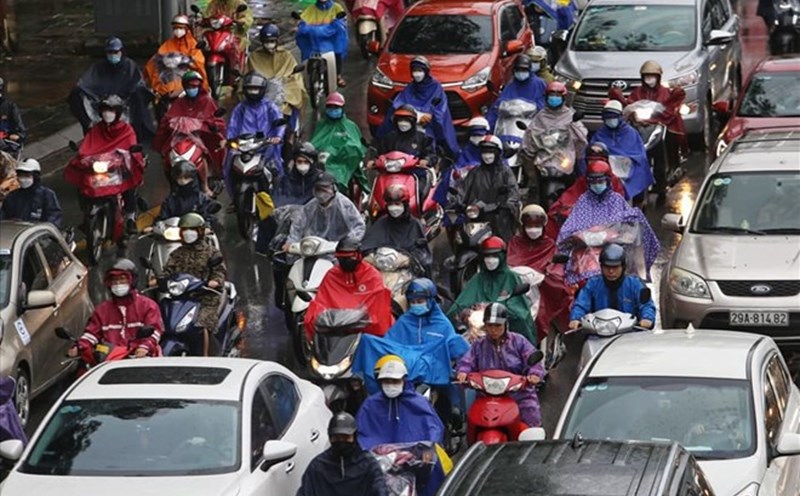
However, according to the National Center for Hydro-Meteorological Forecasting, some areas of our country will have rain.
On September 14, scattered showers and thunderstorms appeared in the Gulf of Tonkin, the sea from South Quang Tri - Quang Ngai, from Ho Chi Minh City - Ca Mau, Ca Mau - An Giang, the Gulf of Thailand, the South East Sea (Truong Sa).
Forecast for the day and night of September 14, scattered showers and thunderstorms in: Gulf of Tonkin, sea from South Quang Tri - Ca Mau, Ca Mau - An Giang, Gulf of Thailand, sea area south of the Central East Sea, South East Sea (Truong Sa).
During thunderstorms, there is a possibility of tornadoes, gusts of wind of level 6-7, waves of more than 2.0m.
Ship in the above areas are at high risk of being affected by tornadoes, strong winds, and large waves.
When traveling in areas affected by low pressure, especially in mountainous areas or near rivers and streams, people and tourists need to closely monitor weather warnings, limit travel during heavy rains, and guard against the risk of flash floods, landslides and flooding. If traveling at sea, you need to pay attention to the storm situation to ensure safety.