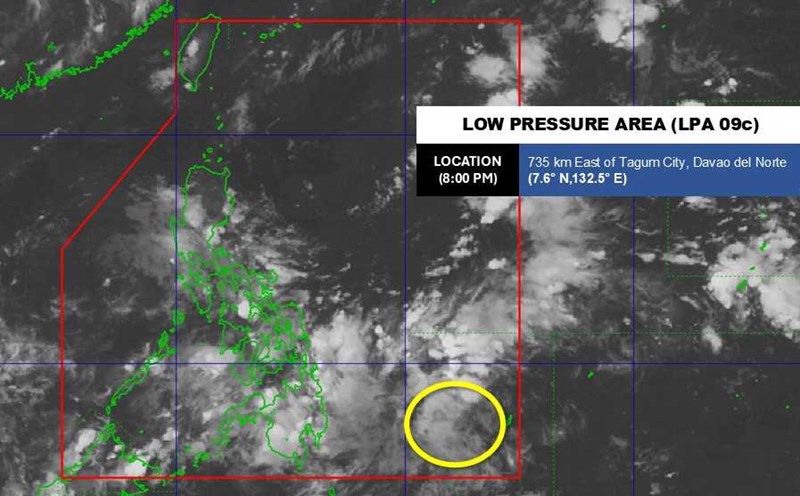
According to the new low pressure forecast from the Philippine Atmospheric, Geophysical and Astronomical Services Administration (PAGASA), during the period of 12.09 - 18.09, a low pressure appeared in the Philippine Area of Responsibility (PAR), moving through Visayas, Mindanao and Southern Luzon before leaving the PAR.
The possibility of this system strengthening into a storm is low to moderate.
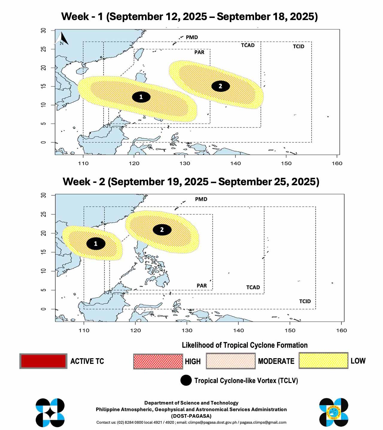
At the same time, a low pressure No. 2 could form east of the PAR and the warning area, with the possibility of developing into a storm also at an average level.
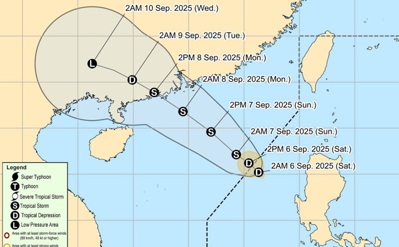
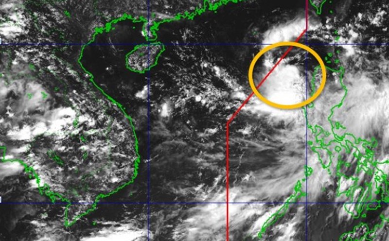
In the second week, from September 19 to September 25, low pressure No. 1 is forecast to continue moving westward, towards Vietnam, while the remaining low pressure will move northeast of PAR, near the Northern Luzon - Taiwan (China).
Both of these depressions maintain an average chance of becoming storms, so the risk of storm formation during the forecast period is noteworthy.
Tourists planning to travel to the Philippines, Taiwan (China) or along the central and northern coast of Vietnam should regularly update weather forecasts, follow the instructions of authorities and proactively adjust their schedules to ensure safety.