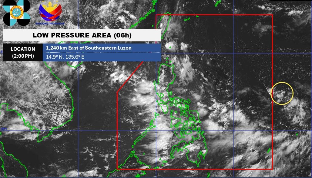
According to new low pressure information from the Philippine Atmospheric, Geophysical and Astronomical Services Administration (PAGASA), a low pressure area being monitored is entering the Philippine Area of Responsibility.
As of 2:00 p.m. on June 29, the center of the low pressure was at about 14.9 degrees North latitude - 135.6 degrees East longitude, about 1,240km east of the southeast Luzon area. The low pressure is unlikely to strengthen into a tropical depression in the next 24 hours.
The low pressure is quite far away so it has not yet affected the Philippine mainland. However, due to the combined influence of the southwest monsoon, Metro Manila, Ilocos Region, Central Luzon, Calabarzon, mimaropa, Bicol Region, Visayas and Mindanao will have gloomy weather with scattered thunderstorms.
The rest of Luzon will have cloudy skies, thunderstorms and localized thunderstorms.
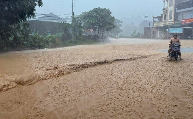
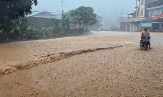
Moderate to heavy rain can cause floods and landslides.
According to the National Center for Hydro-Meteorological Forecasting, on June 29, the Gulf of Tonkin, the North East Sea (including the sea area of Hoang Sa archipelago), the sea area east of the Central East Sea and the Gulf of Thailand will have showers and thunderstorms. On Phu Quy island, there are southwest winds of level 5, sometimes level 6, gusting to level 7.
It is forecasted that on the night of June 29 and June 30, in the Gulf of Tonkin, the North and the middle of the East Sea (including the sea area of Hoang Sa archipelago), the Gulf of Thailand will continue to have showers and thunderstorms. During thunderstorms, there is a possibility of tornadoes, strong gusts of wind of level 6-7, waves over 2.0m high.
The sea area from Ninh Thuan to Ca Mau has strong southwest winds of level 5, sometimes level 6, gusting to level 7, waves from 2.03.0m high, rough seas.
All ships operating in the above areas are at risk of being affected by tornadoes, strong gusts of wind and big waves.
People and tourists coming to the coastal areas from Ninh Thuan to Ca Mau, the Gulf of Tonkin should pay attention to weather forecasts. Follow local instructions to avoid thunderstorms that affect the journey.