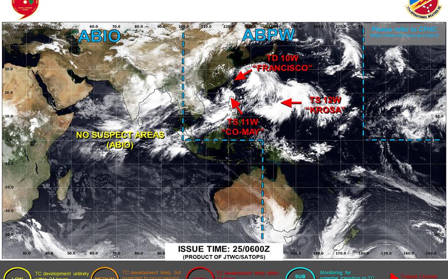
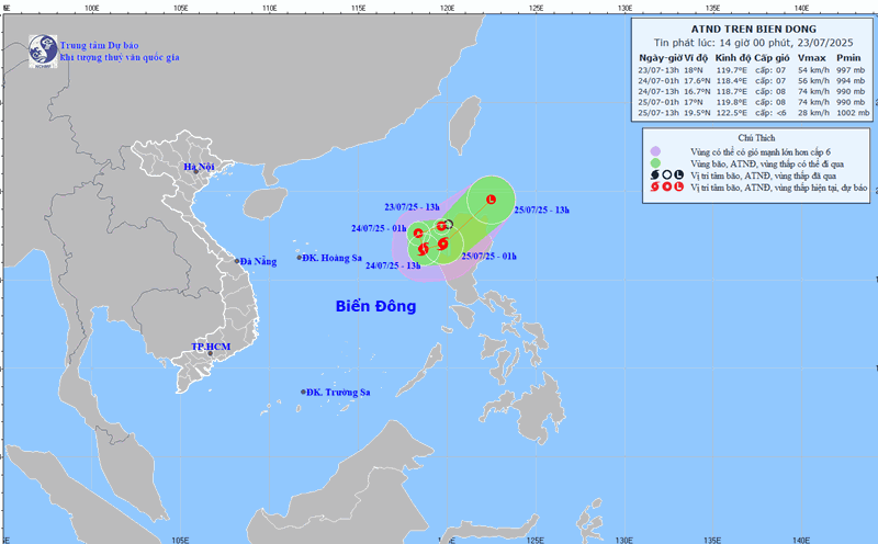
According to the latest storm information from the Joint Typhoon Warning Center (JTWC), Typhoon Co May, storm No. 4 in the East Sea, has weakened into a tropical depression and is still moving northwest, expected to dissipate in the early morning of Sunday, July 27.
At 3:00 a.m. on July 26, Co May was located about 435 km southwest of Kadena (Japan), moving rapidly northeast at a speed of nearly 39 km/h, with sustained winds of 56 km/h, gusting up to 74 km/h.
In the Philippines, all storm warning signals have been lifted, according to the announcement of the national meteorological agency PAGASA. However, the flood situation in this island nation is still very complicated, tourists need to be careful when planning to travel to the Philippines during this time.

The expanded forecast shows that this area will have gusts of up to 40 km/h, scattered showers and possible occasional thunderstorms as the remnants of Co May storm pass, extending into early next week.
Japanese people and tourists are advised to monitor the Japan Meteorological Agency's information page for local warnings.
Meanwhile, Typhoon Krosa is more than 200 km west of Alamagan Institute.
It is forecasted that in the next 3 days, Krosa will move north, the storm intensity is forecast to remain stable for the next 3 days.
Typhoon Krosa will intensify to strong typhoon level within 5 days, the possibility of the storm strengthening is average with a probability of 40-60%.


