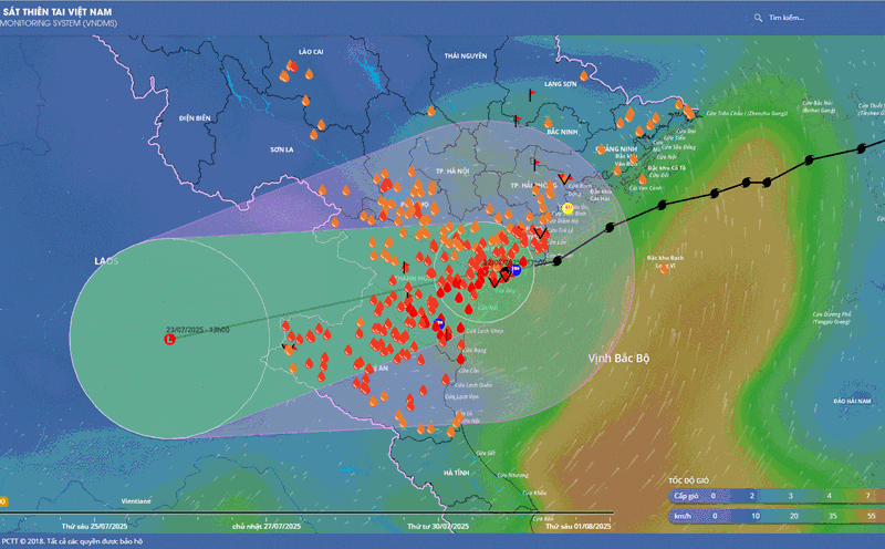
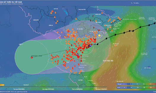
According to the latest tropical depression news from the National Center for Hydro-Meteorological Forecasting, the new tropical depression has formed and is likely to become a storm in the eastern sea of the North East Sea.
This afternoon (July 23), the tropical depression entered the eastern sea of the North East Sea. At 13hh on the same day, the center of the tropical depression was at about 18.0 degrees North latitude; 119.7 degrees East longitude, in the eastern sea of the North East Sea.
The strongest wind near the center of the tropical depression is level 6 - 7 (39-61km/h), gusting to level 9; moving in the West Southwest direction at a speed of 10 - 15km/h.
According to the Philippine Atmospheric, Geophysical and Astronomical Services Administration, the tropical depression named Emong will strengthen into a storm.
It is forecasted that by 1:00 p.m. on July 24, the tropical depression will continue to move in the South-Southeast direction, 5-10 km/h and is likely to strengthen into a storm.
At this time, the center of the storm is at about 16.7 degrees North latitude - 118.7 degrees East longitude; in the eastern sea of the North East Sea. Intensity level 8, gust level 10.
Because the tropical depression is at risk of becoming a storm in the next 24 hours, in the eastern sea of the North East Sea, there will be strong winds of level 6 - 7, near the storm center, strong winds of level 8, gusts of level 10; waves 2.0 - 4.0m high, rough seas.
Ships operating in the above-mentioned dangerous areas should pay special attention to the possibility of being affected by thunderstorms, whirlwinds, strong winds, and large waves.
Currently, in the eastern sea area of the North and Central East Sea, there are showers and thunderstorms. The southwest wind in Phu Quy special zone is strong at level 6, at Song Tu Tay station there are gusts of level 7.
Forecast of strong winds and rain in the next 24 hours, the eastern sea area of the North East Sea: strong winds of level 6-7, near the center of the tropical depression, strong winds of level 8, gusts of level 10; rough seas; waves 2.0-4.0m high.
Central East Sea area and sea area from Khanh Hoa to Lam Dong: strong southwest wind level 6, gust level 7-8; rough seas; waves 2.0-3.5m high.
Gulf of Tonkin, the North and Central East Sea (including the Hoang Sa special zone) will have showers and thunderstorms. During thunderstorms, there is a possibility of tornadoes and strong gusts of wind.
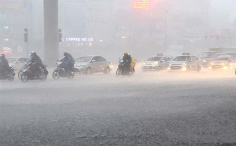
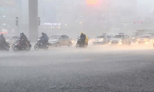
People and tourists need to proactively update weather forecasts and tropical depression developments. Consider changing your schedule to ensure safety in bad weather conditions.