According to storm information from the Philippine Atmospheric, Geophysical and Astronomical Services Administration (PAGASA), at 8:00 p.m. on July 5, storm No. 2 DANAS increased to a strong tropical storm.
Storm No. 2 is likely to continue to strengthen in the northeastern sea area of the North East Sea.
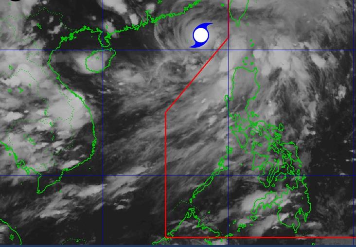
The National Center for Hydro-Meteorological Forecasting said that at 7:00 a.m. on July 6, the center of storm No. 2 was at about 21.4 degrees North latitude - 118.0 degrees East longitude.
The strongest wind near the storm center is level 11 (103-117km/h), gusting to level 13. The storm moved slowly in the North Northeast direction at a speed of about 5km/h.
It is forecasted that by 7:00 a.m. on July 7, storm No. 2 will continue to move in the North Northeast direction at a speed of 15-20km/h. The center of the storm is located at about 25.0 degrees North latitude - 119.9 degrees East longitude, in the waters of Fujian province (China). The strongest wind near the storm center is level 11, gusting to level 13. Natural disaster risk level: level 3 for the northeastern sea area of the North East Sea.
As of 7:00 a.m. on July 8, the storm moved north-northeast at a speed of about 15km/h and gradually weakened. The center of the storm is located at about 28.0 degrees North latitude - 121.6 degrees East longitude, in the sea of Zhejiang province (China). The strongest wind near the center of the storm is level 10, gusting to level 12.
The storm will continue to weaken as it moves inland in Zhejiang Province, China on July 9 and becomes a low pressure area.
Due to the influence of storm No. 2, the northeastern sea area of the North East Sea will have storms and strong winds of level 7-9, the area near the storm's eye will have level 10-11, gusts of level 13, waves 4.0-6.0m high, and rough seas. Ship operating in the above-mentioned dangerous areas are likely to be affected by thunderstorms, whirlwinds, strong winds and large waves.
People and tourists planning to visit Zhejiang (China), Taiwan (China), Hong Kong (China) or neighboring areas should pay attention to weather forecasts. Update the direction of the storm and detailed flight schedule to avoid the impact of storms.


