At 3:00 a.m. on March 3 (local time), the low pressure was determined to be located about 135 km east of Surigao City, Surigao del Norte, according to the Philippine Atmospheric, Geophysical and Astronomical Services Administration ( pagasa).
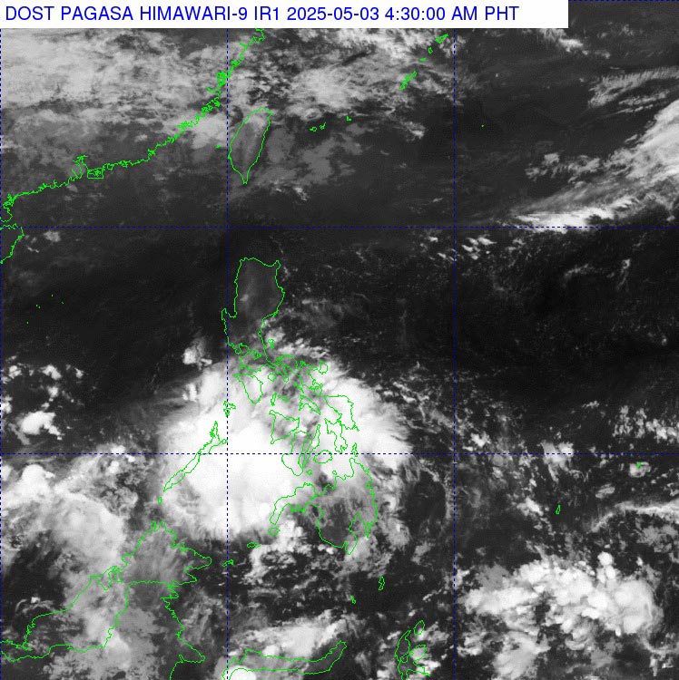
Due to the influence of the low pressure, the weather in the Visayas, Mindanao, Bicol, MIMAROPA, Quezon and Batangas regions will be cloudy with scattered showers and thunderstorms.
PAGASA warns of possible flash floods or landslides due to moderate to heavy rains in these areas.
People and tourists in areas affected by LPA should be cautious when traveling, especially in mountainous areas, along rivers or areas with prone to landslides.
Follow the next bulletins from the meteorological agency to grasp local weather developments and ensure safety.
Currently, the low pressure has not affected the weather at sea in Vietnam.
However, people and tourists need to pay attention to the weather. According to the National Center for Hydro-Meteorological Forecasting, in the early morning of September 3, the Central and South East Sea (including the Truong Sa archipelago), the sea area from Binh Dinh to Ca Mau, Ca Mau to Kien Giang and the Gulf of Thailand are having showers and thunderstorms.
Day and night on May 3, in the southern sea area of the Central East Sea, the southern East Sea area (including the Truong Sa archipelago), the sea area from Binh Dinh to Ca Mau, Ca Mau to Kien Giang and the Gulf of Thailand, there will be scattered showers and thunderstorms.
During thunderstorms, there is a possibility of tornadoes and strong gusts of wind of level 6-7, which are dangerous for ships and maritime activities.

