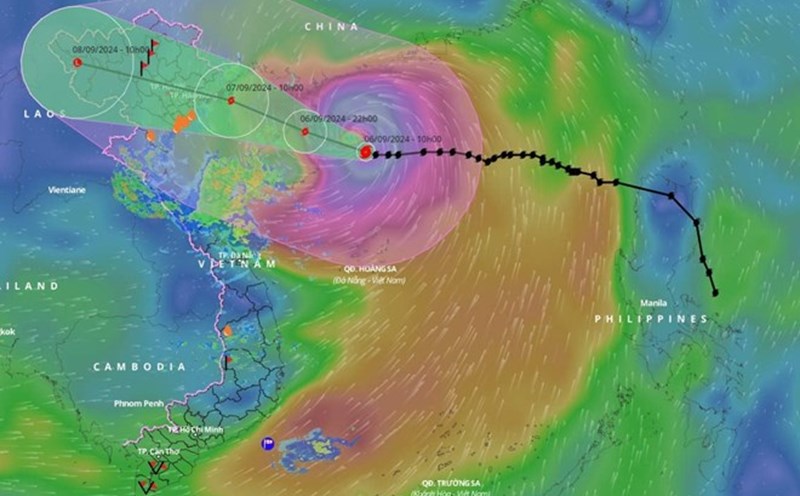
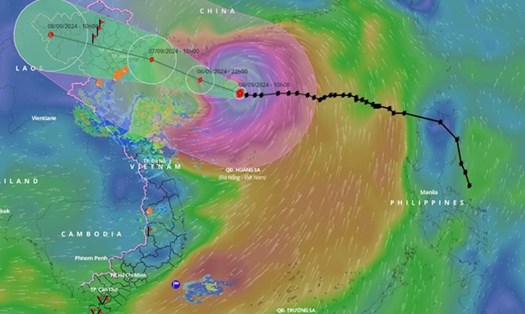
The low pressure area was determined to be located about 340 km east of Virac, Catanduanes (Philippines) (14.2 degrees North latitude, 127.3 degrees East longitude) at 3:00 p.m. today (local time), according to the Philippine Atmospheric, Geophysical and Meteorological Administration.
The Philippine Meteorological Agency assessed the possibility of the low pressure developing into a tropical depression in the next 24 hours at "average".
The southwest monsoon is affecting the western part of the island nation.
Meanwhile, on June 6, the Central and South East Sea (including Truong Sa archipelago), the sea area from Binh Thuan to Ca Mau, Ca Mau to Kien Giang, and the Gulf of Thailand are having scattered showers and thunderstorms.

However, the National Center for Hydro-Meteorological Forecasting forecasts thunderstorms, tornadoes and strong gusts of wind of level 6-7, waves over 2m high in these areas.
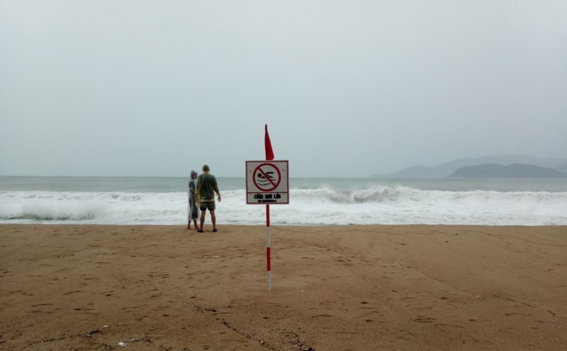
Ships operating in the above areas need to be on guard against tornadoes and strong gusts of wind.
Tourists, especially those planning to travel or visit by sea, should closely monitor the weather situation in the coming days.
People and tourists need to proactively update weather reports continuously, follow the instructions of authorities and prioritize ensuring safety in all travel routes.