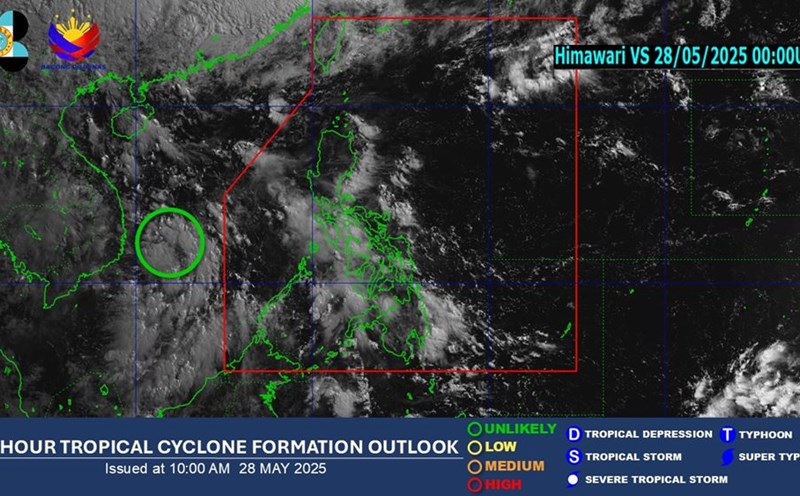
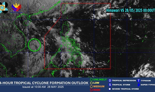
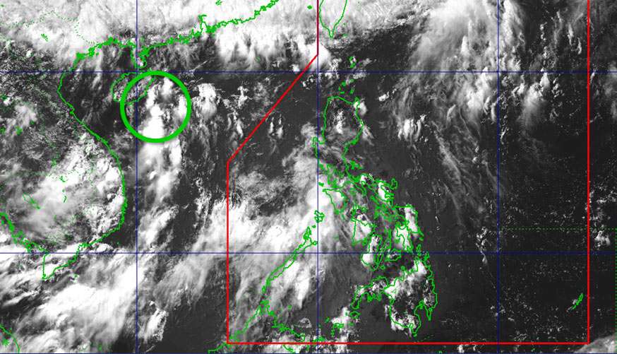
According to the latest low pressure and storm forecast from the Philippine Atmospheric, Geophysical and Astronomical Services Administration (PAGASA) at 2:00 p.m. on May 29, 2025 (local time), a low pressure area (LPA 5D signal) is being monitored outside the Philippine Area of Responsibility (PAR).
Preliminary forecasts show that this low pressure area is unlikely to strengthen, developing into a tropical depression or storm in the next 24 hours.
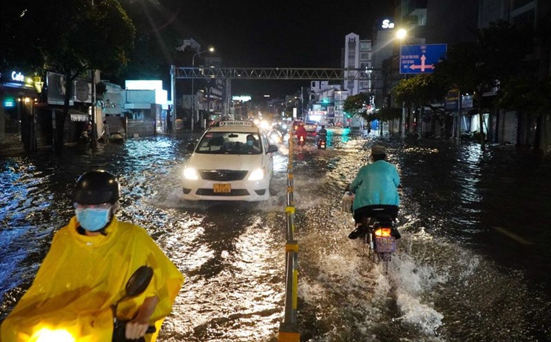
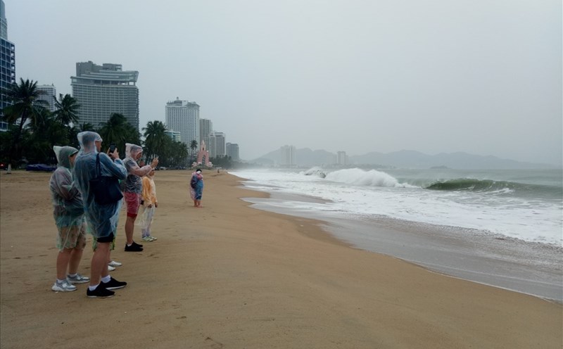
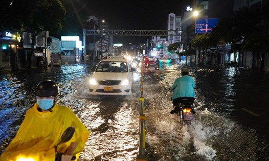
However, the low pressure is causing widespread rain. According to the National Center for Hydro-Meteorological Forecasting, the sea area from Binh Thuan to Ca Mau, the Gulf of Thailand, the East Sea area (including Hoang Sa archipelago and Truong Sa) had showers and thunderstorms on May 29.
Forecast for the next 24 hours, from the night of May 29 and May 30, the Gulf of Tonkin, the sea area from Da Nang to Ca Mau, Ca Mau to Kien Giang, the Gulf of Thailand, the East Sea area (including Hoang Sa archipelago and Truong Sa) will have thunderstorms.
Strong winds in the sea area from Binh Thuan to Ca Mau, the west of the South East Sea (including the west of Truong Sa archipelago) have strong southwest winds of level 5, sometimes level 6, gusting to level 7-8; waves from 1.0.0m high; rough seas.
During thunderstorms, there is a possibility of tornadoes, strong gusts of wind of level 6-7, waves over 2.5m high, dangerous for ships and boats.
Tourists should pay attention to avoid traveling by boat, especially on routes to the island or visiting the bay, to avoid the risk of bad weather in the middle of the journey.
Continuously update weather forecasts from authorities or meteorological stations to promptly grasp the situation and adjust travel and sightseeing plans if necessary.