Forecast of low pressure and storms near the East Sea in early June

Ninh Phương |

The forecast of tropical depressions, storms and the southwest monsoon is likely to affect the activities of ships. Tourists need to pay attention when planning to go to the beach.

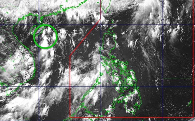
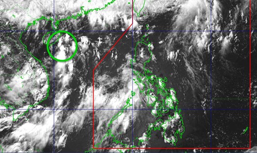
According to the low pressure and storm forecast bulletin of the Philippine Atmospheric, Geophysical and Astronomical Services Administration (PAGASA) issued on May 30, 2025, during the week from May 30 to June 5, there is a possibility of two areas that may become low pressure in the northwest of the PAGASA monitoring area (PMD) and the north of the Philippine Area of Responsibility (PAR).

In the week from June 6 to 12, 2025, the forecast continues to show a low probability of low pressure formation.

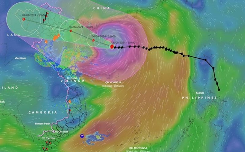
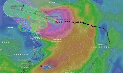
The possibility of storm No. 1 appearing in the East Sea and neighboring areas is assessed to be very low.

However, specialized agencies will continue to closely monitor weather developments and update bulletins if there are significant changes in the forecast model.

According to the National Center for Hydro-Meteorological Forecasting, from May 21 to June 20, the tropical depression is likely to appear in the East Sea at an average of many years (nearly 1 storm).

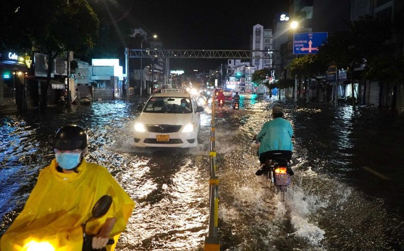
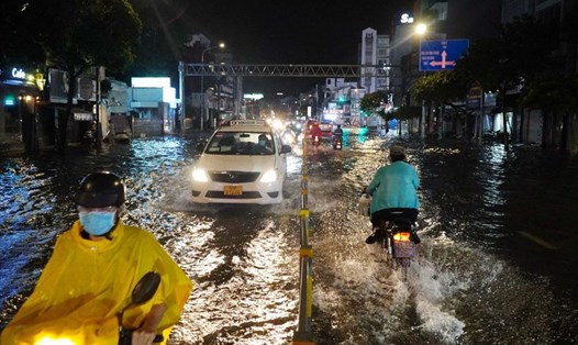
The Northern region is likely to experience some moderate rain, heavy rain and thunderstorms. The southwest monsoon in the South continues to cause showers and thunderstorms in the Central Highlands and the South.

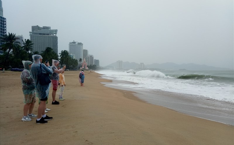
Storms, tropical depressions and the southwest monsoon are likely to cause strong winds and large waves affecting the activities of ships.

Tourists, especially those participating in offshore activities such as boating, fishing, and island tourism, need to closely monitor weather forecasts to proactively respond when there are sudden changes.

In the Northern region, the weather may have moderate rain, heavy rain and thunderstorms in the coming time. Visitors should prepare raincoats and check travel schedules to avoid going to areas prone to flooding or landslides.

Ninh Phương
TIN LIÊN QUAN

Forecast of more than 5 storms and depressions hitting the East Sea from now until August

|

Forecast for the 2025 storm season, the possibility of storms and tropical depressions operating in the East Sea is approximately the same as the average of many years.

Low pressure in the East Sea approaches land, forecast to become a storm

|

A low pressure area is approaching the Gulf of Tonkin, causing widespread rain.

New low pressure causes heavy rain in the South, some places over 120mm

|

The low pressure trough combined with the newly formed low pressure area caused heavy rain in many places last night in the South.

Low pressure developments in the East Sea cause heavy thunderstorms

|

The low pressure in the East Sea is causing widespread thunderstorms.

Forecast of more than 5 storms and depressions hitting the East Sea from now until August

Chí Long |

Forecast for the 2025 storm season, the possibility of storms and tropical depressions operating in the East Sea is approximately the same as the average of many years.

Low pressure in the East Sea approaches land, forecast to become a storm

Ninh Phương |

A low pressure area is approaching the Gulf of Tonkin, causing widespread rain.

New low pressure causes heavy rain in the South, some places over 120mm

Ninh Phương |

The low pressure trough combined with the newly formed low pressure area caused heavy rain in many places last night in the South.

Low pressure developments in the East Sea cause heavy thunderstorms

Ninh Phương |

The low pressure in the East Sea is causing widespread thunderstorms.