According to the National Center for Hydro-Meteorological Forecasting, from the night of May 7, cold air will affect the Northeast region, then affect the North Central region and some places in the Northwest region. Wind turns Northeast at level 2-3, coastal areas at level 3-4.
Temperatures in the Northeast and Thanh Hoa are commonly 21–24 degrees Celsius, in the Northern mountainous areas there are places below 21 degrees Celsius. From tonight, the weather will turn cool.
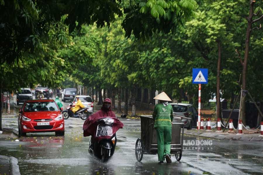
Hanoi area from this evening to tomorrow will have rain, moderate rain and scattered thunderstorms, locally heavy to very heavy rain; from tonight the weather will turn cool. The lowest temperature is commonly 22–24 degrees C.
On satellite images this afternoon May 7, lightning positioning data and weather radar images show convective clouds forming right above Hanoi city area (Vinh Thanh, Phu Thuong, Tay Ho, Hong Ha, Dong Anh). The cloud area tends to develop and expand further.
Warning that in the period from now until the next 3 hours, the above-mentioned areas will have showers and thunderstorms, then spread to other ward/commune areas such as Ngoc Ha, Bo De, Ba Dinh and other areas in inner Hanoi. In thunderstorms, there is a possibility of tornadoes, lightning and strong gusts of wind.
From the afternoon of May 7 to the morning of May 8, the Northern region, Thanh Hoa and Nghe An will have rain, moderate rain and scattered thunderstorms (20–40mm), locally over 100mm.
The area from Ha Tinh to Hue has scattered showers and thunderstorms (10–30mm), locally over 70mm.
People and tourists should be wary that in showers and thunderstorms, there is a high risk of tornadoes, lightning, hail and strong gusts of wind. Should bring umbrellas, raincoats and avoid going out when the weather is bad.


