According to the latest rain forecast from the National Center for Hydro-Meteorological Forecasting, many places recorded extremely heavy rain such as Tam Tra (Da Nang) 262 mm, Ba Dien (Quang Ngai) 169 mm, Canh Hoa (Gia Lai) 249 mm. Notably, Son Thanh Dong (Dak Lak) measured up to 649 mm and Suoi Sung - Hoa Son (Khanh Hoa) reached 642.6 mm.
The forecast of rain in the next 24-48 hours continues to show that the Central region will still suffer moderate rain, heavy rain, and some places will have very heavy rain. Da Nang area, Eastern Quang Ngai and Northern Lam Dong have common rainfall of 50-100 mm, locally over 150 mm.

The East of Gia Lai and the South of Khanh Hoa are likely to have 70-150 mm of rain, some places recorded very heavy rain over 200 mm. The most worrying are the East of Dak Lak and the North of Khanh Hoa, where rainfall is forecast to reach 150-250 mm, some places exceed 450 mm. This is an area that is heavily affected by floods and has surpassed many historical flood markers, including the flood in 1993.
Heavy rain is the main reason for the rapid increase and excess of historical markers in rivers, many places recorded flood surplus in 1993.
At 1:00 a.m. on November 20, the flood on Ba River (Dak Lak) at Cung Son station reached 40.99 m, exceeding alert level 3 by 6.49 m and 1.09 m higher than the historical flood in 1993. At Phu Lam station, the flood reached 5.36 m, exceeding the flood peak in 1993 by 0.15 m. On Kon River, the water level at Thanh Hoa station was up to 8.95 m, nearly one meter higher than alert level 3.

Meanwhile, Dinh Ninh Hoa River (Khanh Hoa) also exceeded the historical flood level in 1986 with a water level of 6.62 m. Other rivers such as Cai Nha Trang River, Cai Phan Rang River and Krong Ana River all reached high warning levels, showing that the flood situation is very complicated.
According to the latest weather forecast, in the next 6 hours, floods on the Ba River are likely to peak higher than the historical flood level in 1993 and then slowly decrease.
In the next 12 hours, the flood on the Kon River will gradually decrease below alert level 3, the Krong Ana River will continue to rise but below alert level 3, while the flood on the Thu Bon River will decrease below alert level 2.
In the next 12 to 24 hours, water levels in the basins will remain high and fluctuate around warning levels, especially the Ba River and the Krong Ana River.
The bulletin at 9:00 a.m. on November 20 showed that floods on the Ba River had peaked and were receding but still far exceeded historical milestones, in which the flood peak at Cung Son was 1.09 m higher than the flood in 1993.
Floods on Cai Nha Trang River also reached very high levels, above alert level 3 by more than 2 m. Some rivers in Khanh Hoa and Dak Lak continue to rise. Meanwhile, the Huong River, Bo River, Kon River and rivers from Da Nang to Khanh Hoa are showing a downward trend.
Weather forecast and flood warning show that the next 24 hours are a dangerous period. Many basins will maintain flood levels at alert level 1 to alert level 3, with Dak Lak and Khanh Hoa in some places exceeding alert level 3.
The risk of deep flooding is from Hue to Khanh Hoa, accompanied by flash floods on small rivers and streams and landslides in mountainous areas. The disaster risk level in the East of Dak Lak is at level 4, while the basins from Gia Lai to Khanh Hoa are at level 3.
This is a very notable situation in the context that many areas are recording phenomena exceeding the flood level in 1993.
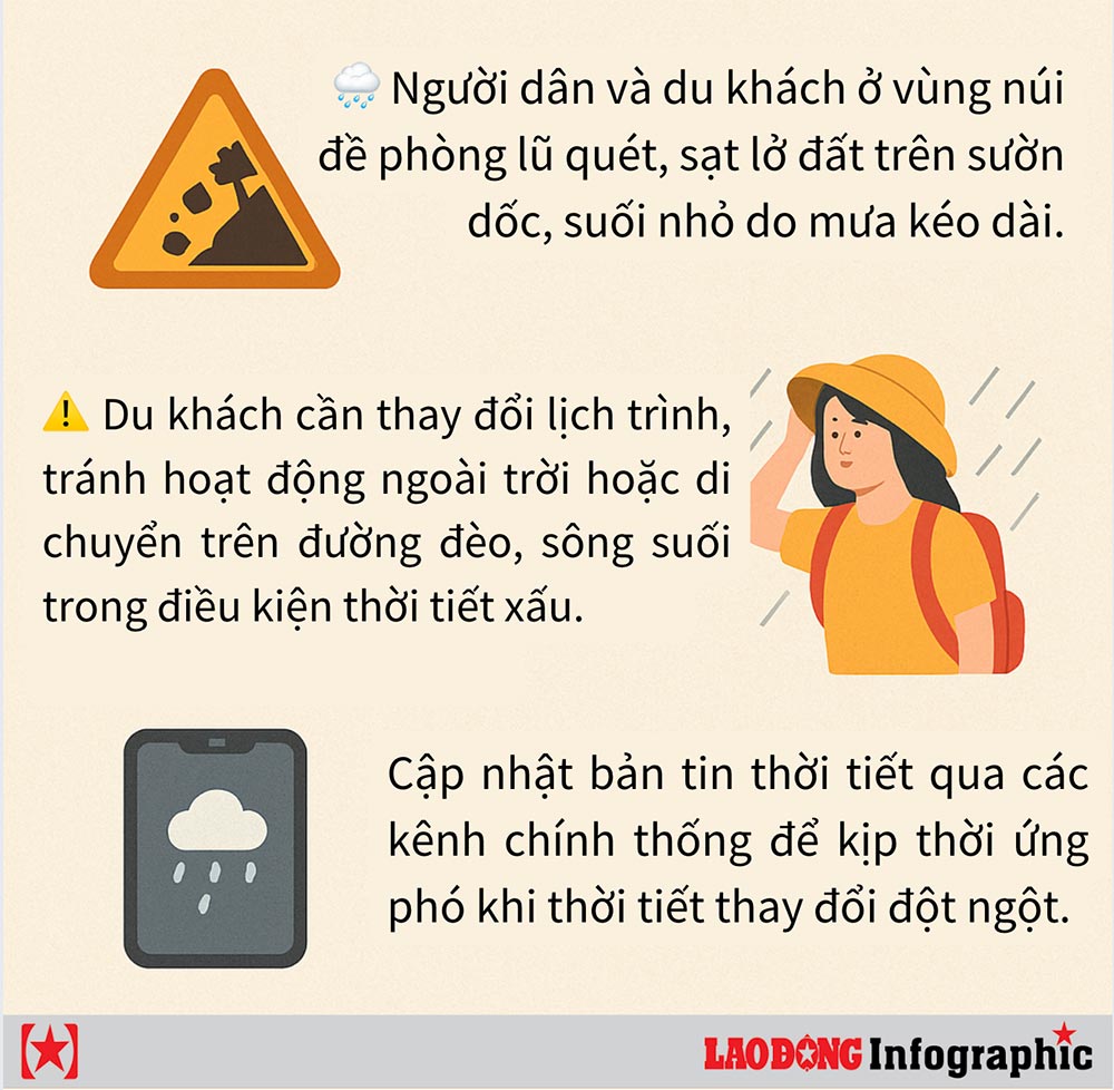
Floods in the coming days may continue to affect traffic, agricultural production, aquaculture and people's lives. People and tourists in the above areas continue to closely monitor rain forecasts and weather forecasts, proactively responding to the complicated natural disaster situation in the next 48 hours.


