According to the latest weather forecast from the National Center for Hydro-Meteorological Forecasting, on the evening of September 27, storm No. 10 Bualoi was in the area south of Hoang Sa Special Zone, about 380km east of Da Nang City.
The strongest wind near the storm center is level 12 (118-133km/h), gusting to level 15. Moving in the West Northwest direction at a speed of 30-35km/h.
This is a very fast moving storm (nearly double the average speed), strong storm intensity, wide range of influence, which can cause the combined impact of many types of natural disasters such as strong winds, heavy rain, floods, flash floods, landslides and coastal flooding.
It is forecasted that by 7:00 a.m. on September 28, the storm will move in a West-Northwest direction at a speed of about 30km/h and is likely to strengthen.
The center of the storm is located at about 16.9 degrees North latitude - 109.3 degrees East longitude, in the waters of Quang Tri - Hue City, about 200km east of the coast of Quang Tri.
Strong wind level 12-13, gust level 16. The danger zone is determined in the latitude 13.0N-19.5N, west of longitude 115.0E.
Level 3 natural disaster risk, affecting the North and Central East Sea (including Hoang Sa archipelago) and the sea area from Ha Tinh to Quang Ngai.
It is forecasted that by 7:00 p.m. the same day, the storm will continue to move in the West Northwest direction at a speed of about 30km/h.
The center of the storm is located at about 18.1 degrees North latitude - 106.9 degrees East longitude, in the coastal waters of Nghe An - Quang Tri. Winds remain level 12-13, gust level 16.
The dangerous area is located in the latitude 15.0N-20,0N, west of longitude 114.5E. The level 4 natural disaster risk is applied to the coastal mainland area from Nghe An to the north of Quang Tri; while level 3 applies to the western sea area of the North and Central East Sea (including Hoang Sa archipelago) and the sea area from Ha Tinh to Quang Ngai.
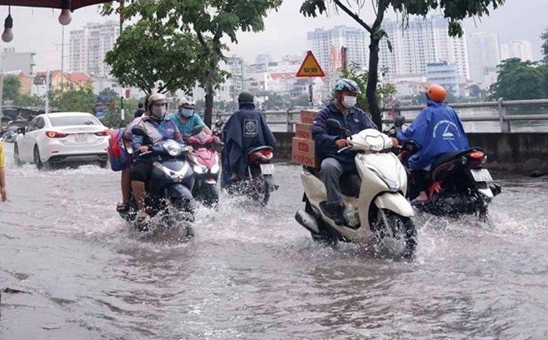
From the evening of September 27, in the North and the area from Thanh Hoa to Quang Ngai, there is a possibility of a widespread heavy rain with total rainfall ranging from 100-300mm, locally over 450mm; in the Northern Delta, South Phu Tho and from Thanh Hoa to the North of Quang Tri, it is likely to be 200-400mm, locally over 600mm. Warning of the risk of heavy rain (>200mm/3 hours).
People and tourists need to be on guard during thunderstorms with the possibility of tornadoes, lightning, hail and strong gusts of wind.
Weather forecast for tomorrow, September 28:
Hanoi Lowest temperature: 24-26 degrees Celsius Highest temperature: 30-32 degrees Celsius Cloudy, scattered showers and thunderstorms; from tomorrow afternoon there will be scattered showers and thunderstorms, locally heavy rain.
Northeast wind level 2-3.
Northwest Lowest temperature: 22-25 degrees Celsius, some places below 22 degrees Celsius Highest temperature: 29-32 degrees Celsius, some places above 32 degrees Celsius Cloudy, scattered showers and thunderstorms, locally heavy rain.
Light wind.
Northeast Lowest temperature: 23-26 degrees Celsius Highest temperature: 29-32 degrees Celsius, some places above 32 degrees Celsius Cloudy, scattered showers and thunderstorms, some places have heavy rain; in the southern plains and coastal areas from tomorrow afternoon, there will be moderate rain, heavy rain and scattered thunderstorms, some places have very heavy rain.
Northeast wind level 2-3; from tomorrow afternoon, coastal areas of Quang Ninh to Ninh Binh will gradually increase to level 6-7, gusting to level 8-9.
Thanh Hoa to Hue Lowest temperature: 22-25 degrees Celsius Highest temperature: 26-29 degrees Celsius Cloudy, with heavy to very heavy rain and thunderstorms.
North to northwest wind level 2-3; from tomorrow afternoon, the wind will gradually increase to level 6-7, especially from Thanh Hoa to North Quang Tri, then increase to level 8-9, near the storm center level 10-12, gusting to level 14.
South Central Coast Lowest temperature: 23-26 degrees Celsius Highest temperature: 28-31 degrees Celsius, South has places above 31 degrees Celsius Cloudy, scattered showers and thunderstorms, locally heavy rain; the North has heavy to very heavy rain.
North strong wind level 4-5, South southwest wind level 3.
Central Highlands Lowest temperature: 19-22 degrees Celsius Highest temperature: 25-28 degrees Celsius Cloudy, scattered showers and thunderstorms, locally heavy rain.
Southwest wind level 2-3.
Southern region Lowest temperature: 23-26 degrees Celsius Highest temperature: 29-32 degrees Celsius Cloudy, scattered showers and thunderstorms, locally heavy rain.
Southwest wind level 2-3.
Ho Chi Minh City Lowest temperature: 24-26 degrees Celsius Highest temperature: 30-32 degrees Celsius Cloudy, scattered showers and thunderstorms, locally heavy rain.
Southwest wind level 2-3.