According to the forecast of the National Center for Hydro-Meteorological Forecasting, currently (May 23), a cold air mass from the North is moving south.
On land, it is forecasted that around May 24, this cold air mass will begin to affect the Northeast region.
From around May 25, the cold air will continue to strengthen and affect the North Central region and some places in the Northwest.
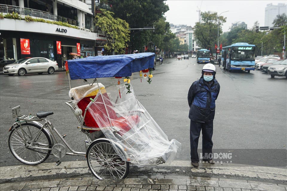
Under the influence of cold air, the Northern region will turn cool from May 24, with the lowest temperature commonly during this period ranging from 21-23 degrees Celsius.
In the highlands, some places will drop below 20 degrees Celsius.
Weather forecast for some tourist destinations in the northern highlands, temperatures will drop, the weather will turn cold.
According to the Weather application, due to the influence of cold air, the weather in Sa Pa (Lao Cai) for the next 3 days will have rain, the lowest temperature is forecast on May 24 at about 15 degrees Celsius.
Moc Chau (Son La) is forecast to have the lowest temperature of about 19-20 degrees on May 24 and 25.
Mu Cang Chai (Yen Bai) will have rain, the lowest temperature is forecast to be around 17-18 degrees Celsius on May 24 and 25.
The wind will shift to northeast level 2-3, coastal areas level 3.
At sea, from May 24, in the northern area of the Gulf of Tonkin and the northern sea area of the North East Sea, the wind will shift to northeast level 4-5, sometimes reaching level 6, gusting to level 7; the sea will be rough.
From the night of May 23 to the night of May 24, the Northern and North Central regions will have moderate rain, heavy rain and thunderstorms, locally very heavy rain. Dangerous weather phenomena such as tornadoes, lightning, hail and strong gusts of wind can occur, potentially affecting agricultural production, causing trees to fall, damaging houses, traffic works and technical infrastructure.
In addition, prolonged heavy rains or high intensity can cause flooding in low-lying areas, urban areas and industrial parks. The risk of flash floods on small rivers and streams and landslides in steep mountainous areas also needs special attention.
At sea, strong winds and large waves can affect the operation of ships as well as exploitation, fishing and transportation activities at sea.
People and tourists need to closely monitor the next weather forecasts and take appropriate preventive and response measures to ensure the safety of people and property.
Prepare raincoats, umbrellas, boots or waterproof shoes if you plan to go out.
Visitors should avoid camping or picnicking in mountainous areas and stream waterfalls during this time.
Limit travel through mountainous areas, along rivers and streams, especially during rainy season, authorities warn of flash floods and landslides.


