According to the National Center for Hydro-Meteorological Forecasting, on the day and evening of April 23, cold air has affected most of the North Central region and some places in the Northwest region. In the North and North Central regions, showers and thunderstorms appeared, locally heavy to very heavy rain, the temperature decreased by about 6-9 degrees Celsius compared to before. In the Gulf of Tonkin, Northeast wind was strong at level 5, gusting at level 6.
Recorded during the day, many places had heavy rainfall over 100mm such as Phong Coc (Quang Ninh) 160mm, Dong Son (Ninh Binh) 128.4mm, Tan Phong (Hai Phong) 122.4mm, Sa Lung pumping station (Hung Yen) 112.6mm.
Forecast from the night of April 23 to April 24, cold air will continue to affect the remaining areas of the North Central region and some places in the Northwest region. Northeast wind inland level 2-3, coastal areas level 3-4.
Due to the impact of cold air, the Northeast and North Central regions maintain a cool weather state. The lowest temperature in this period is commonly from 20-23 degrees Celsius in the Northeast, mountainous areas in some places below 20 degrees Celsius; North Central region from 21-24 degrees Celsius.
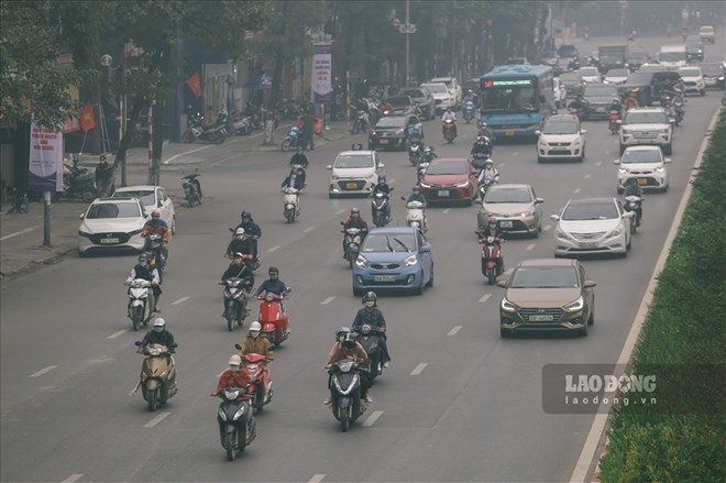
In Hanoi, from the night of April 23 to the morning of April 24, there will be rain, scattered showers and thunderstorms in some places, the lowest temperature is about 21-23 degrees C.
At sea, the Gulf of Tonkin continues to have scattered showers and thunderstorms. In thunderstorms, there is a possibility of tornadoes and strong gusts of wind at level 6-7, causing danger to ships operating at sea.
On the night of April 23, the Northern region will have scattered showers and thunderstorms, with locally heavy rain over 30mm. From the night of April 23 to the end of April 24, the North Central region will have showers and thunderstorms, with common rainfall of 15-30mm, locally over 80mm.
Meanwhile, from the night of April 23 to April 25, the Central Central region experienced scattered showers and thunderstorms, rainfall of 10-30mm every 24 hours, in some places over 70mm, concentrated in the late afternoon and night.
The meteorological agency warns that dangerous phenomena such as tornadoes, lightning, hail and strong gusts of wind may appear during thunderstorms. Localized heavy rain poses a risk of flash floods on small rivers and streams; landslides in steep slopes and flooding in low-lying areas. Strong winds and big waves at sea also affect the operation of ships and boats.
People need to proactively monitor information about cold air and weather warnings to have timely preventive measures.
For tourists, it is necessary to closely monitor weather developments at the destination, adjust schedules appropriately, and avoid participating in outdoor or sea activities when there are thunderstorms and strong winds to ensure safety.


