According to the National Center for Hydro-Meteorological Forecasting, in the past 24 hours, cold air has affected the Northeast region, causing showers and thunderstorms in many places, with very heavy rain in some places. Temperatures have generally decreased from 2-5 degrees compared to before. In the Gulf of Tonkin, Northeast wind is strong at level 5, sometimes gusting at level 6.
On the day and night of April 23, cold air will continue to affect other areas in the Northeast, North Central and part of the Northwest. On land, Northeast winds maintain level 2-3, coastal areas level 3-4.
Due to the impact of cold air, the Northeast and North Central regions will turn cool. The lowest temperature in this period in the North is commonly from 20-23 degrees C, mountainous areas in some places below 20 degrees C; North Central region is commonly from 21-24 degrees C.
In Hanoi, on the day and night of April 23, there will be scattered showers and thunderstorms, locally heavy rain, cool weather. The lowest temperature during the cold air wave ranges from 21-23 degrees Celsius.
In the Northern region, there are showers and thunderstorms, locally heavy to very heavy rain. Rainfall calculated from 7 pm on April 22 to 8 am on April 23 locally over 70mm such as stations: Uong Bi (Quang Ninh) 121. 1mm, Khau Pha (Lao Cai) 77. 8mm, Lam Thao (Phu Tho) 76. 2mm, Ta Gia 2 (Lai Chau) 76. 0mm, Muong Chien 2 (Son La) 73. 8mm
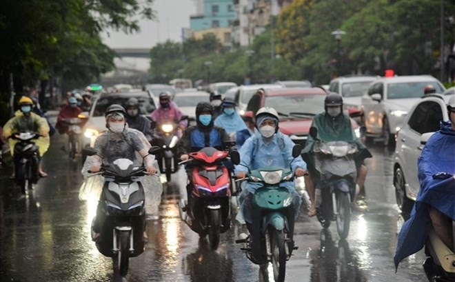
On the day and night of April 23, the Northern region will have rain, moderate rain and scattered thunderstorms with rainfall from 20-40mm, locally heavy to very heavy rain over 100mm.
From April 23 to April 24, the North Central region will have rain, moderate rain and scattered thunderstorms with rainfall of 20-40mm/24h, locally heavy to very heavy rain over 100mm/24h.
From the evening of April 23 to April 25, the Central Central region will have scattered showers and thunderstorms with rainfall of 10-30mm/24h, locally heavy rain over 70mm/24h (rain concentrated in the evening and night).
At sea, on April 23, the area of the Northern Gulf of Tonkin has strong Northeast winds of level 5, sometimes level 6, gusts of level 7. Sea is rough, waves are 1.5-2.5m high, posing many risks for ships operating at sea.
The meteorological agency warns that due to the influence of cold air, during the day and night of April 23, the North will have moderate rain, with heavy to very heavy rain in some places accompanied by thunderstorms. From April 23-24, the North Central region will continue to have rain, locally heavy rain. From the evening of April 23 to April 25, the Central Central region will experience scattered showers and thunderstorms.
Rainstorms caused by cold air may be accompanied by tornadoes, lightning, hail and strong gusts of wind, affecting agricultural production, causing trees to fall, damage to houses and traffic infrastructure. Localized heavy rain also poses a risk of flash floods on small rivers and streams, landslides in hilly areas and flooding in low-lying areas.
Before the development of cold air, people and tourists should proactively follow weather forecasts, limit movement during heavy rain and thunderstorms. When there are signs of tornadoes, lightning, gusts of wind, it is necessary to find safe shelter, avoid standing near tall trees, power poles or empty areas.
For marine tourism activities, ships and boats need to carefully check safety conditions, limit going out to sea when there is strong wind and big waves to minimize risks.


