According to the National Center for Hydro-Meteorological Forecasting, in the past 24 hours, the Northern region has had light rain in some places, the common temperature is from 28-31 degrees C, in some places above 31 degrees C.
It is forecasted that around the night of April 22, cold air will affect the Northeast region, then spread to some places in the Northwest and North Central regions. On land, the wind will shift to Northeast level 2-3, coastal areas level 3-4.
From April 23, the Northeast region and Thanh Hoa will turn cool. The lowest temperature in this cold air wave is commonly from 21-24 degrees C, mountainous areas in some places below 20 degrees C.
In Hanoi, from the night of April 22nd to April 23rd, there will be scattered showers and thunderstorms, then the weather will cool down. The lowest temperature fluctuates from 22-24 degrees C.
At sea, from near dawn on April 23, the sea area north of the Gulf of Tonkin will have strong Northeast winds of level 5, sometimes level 6, gusts of level 7; rough seas, waves 1.5-2.5 m high.
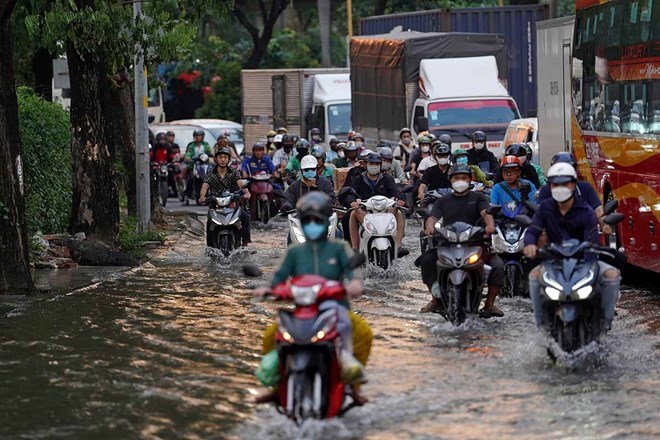
The meteorological agency warns that from the evening of April 22 to April 23, the Northern region will experience scattered showers and thunderstorms, with locally heavy rain. From April 23 to April 24, thunderstorms will spread to the North Central region; from the evening of April 23 to April 25, the Central Central region will also have scattered showers and thunderstorms.
In thunderstorms, there is a risk of tornadoes, lightning, hail and strong gusts of wind, which can affect agricultural production, break down trees, damage houses and works. In addition, strong winds and big waves at sea also pose risks to the operation of ships and boats.
People and tourists planning to visit these areas should pay attention to weather forecasts. Bring umbrellas and raincoats when going out to prevent sudden weather changes.


